

February 08, 2018 Surf Forecast
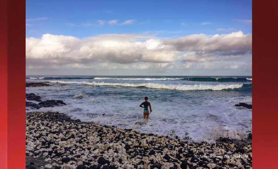
Photo: James Grenz
Swell Summary
Outlook through Wednesday February 14: A new large northwest swell is expected to arrive by Thursday night. This swell will peak on Friday then lower gradually Friday night through Saturday night. A moderate size northwest swell is expected to fill in Saturday night and Sunday. A larger reinforcing northwest swell is expected late Sunday and Sunday night. This swell is expected to peak on Monday then lower gradually Tuesday and Wednesday. A moderate size north northwest swell is expected during the Tuesday through Wednesday time frame.
Surf heights are forecast heights of the face, or front, of waves. The surf forecast is based on the significant wave height, the average height of the one third largest waves, at the locations of the largest breakers. Some waves may be more than twice as high as the significant wave height. Expect to encounter rip currents in or near any surf zone.
North East
am ![]()
![]() pm
pm ![]()
![]()
Surf: Waist to stomach high ESE wind swell with occasional chest high sets.
Conditions: Sideshore texture/chop with NW winds 10-15mph in the morning shifting NNW 15-20mph in the afternoon.
North West
am ![]()
![]() pm
pm ![]()
![]()
Surf: Knee to waist high WNW medium period swell for the morning drops into the knee high zone during the afternoon.
Conditions: Sideshore texture/chop with NE winds 5-10mph in the morning shifting N 20-25mph in the afternoon.
West
am ![]()
![]() pm
pm ![]()
![]()
Surf: Knee to waist high WNW medium period swell.
Conditions: Clean in the morning with NE winds less than 5mph. Bumpy/semi bumpy conditions for the afternoon with the winds shifting WNW 5-10mph.
South East
am ![]()
![]() pm
pm ![]()
![]()
Surf: Waist to stomach high ESE wind swell with occasional chest high sets.
Conditions: Clean in the morning with NNW winds less than 5mph. Semi clean/textured conditions for the afternoon with the winds shifting N 10-15mph.

Image: NOAA

Image: NOAA

Image: NOAA

Image: NOAA

Image: NOAA
**Click directly on the images below to make them larger. Charts include: Hawaii County projected winds, tides, swell direction & period and expected wave heights.**
Data Courtesy of NOAA.gov and SwellInfo.com
Sponsored Content


