

January 25, 2018 Surf Forecast
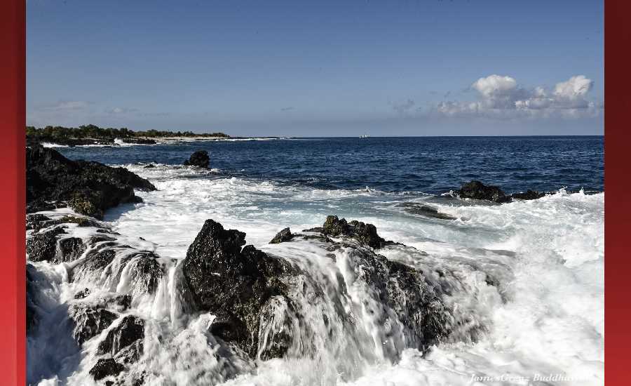
Photo: James Grenz
Swell Summary
Outlook through Wednesday January 31: Although trades will trend down during the next couple of days, the easterly swell will likely drop only slightly and will continue to generate east shore surf just below the advisory level into the weekend. A series of small northwest swells is expected through the week, and a north swell may produce moderate north shore surf Sunday through Tuesday.
Surf heights are forecast heights of the face, or front, of waves. The surf forecast is based on the significant wave height, the average height of the one third largest waves, at the locations of the largest breakers. Some waves may be more than twice as high as the significant wave height. Expect to encounter rip currents in or near any surf zone.
North East
am ![]()
![]() pm
pm ![]()
![]()
Surf: Head high E medium period swell in the morning builds in the afternoon with occasional sets up to 1-2′ overhead high.
Conditions: Light sideshore texture in the morning with SSE winds 10-15mph. Sideshore texture/chop conditions for the afternoon with the winds shifting to the SE.
North West
am ![]()
![]() pm
pm ![]()
![]()
Surf: Ankle to knee high SW ground swell.
Conditions: Clean in the morning with SSE winds less than 5mph. Choppy/disorganized conditions for the afternoon with the winds shifting WSW 10-15mph.
West
am ![]()
![]() pm
pm ![]()
![]()
Surf: Knee high WNW ground swell in the morning with occasional thigh high sets. This drops a bit in the afternoon.
Conditions: Semi glassy in the morning with NNW winds less than 5mph. Bumpy/semi bumpy conditions for the afternoon with the winds shifting WNW 5-10mph.
South East
am ![]()
![]() pm
pm ![]()
![]()
Surf: Head high E medium period swell.
Conditions: Light sideshore texture in the morning with NE winds 5-10mph. Semi choppy conditions for the afternoon with the winds shifting to the ENE.

Image: NOAA

Image: NOAA

Image: NOAA

Image: NOAA

Image: NOAA

Image: NOAA
**Click directly on the images below to make them larger. Charts include: Hawaii County projected winds, tides, swell direction & period and expected wave heights.**
Data Courtesy of NOAA.gov and SwellInfo.com
Sponsored Content


