Today’s Surf Report: High Surf Warning Posted
Marine Alerts (as of 1:00 a.m.)
High Surf Warning: North facing shores of the Big Island through 6 p.m. Wednesday.
High Surf Advisory: East facing shores of the Big Island through 6 p.m. Wednesday.
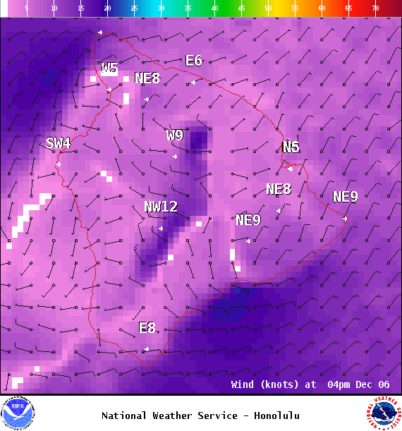
Small Craft Advisory: Through 6 p.m. Wednesday for northeast winds up to 25 knots and seas from 7 to 10 feet.
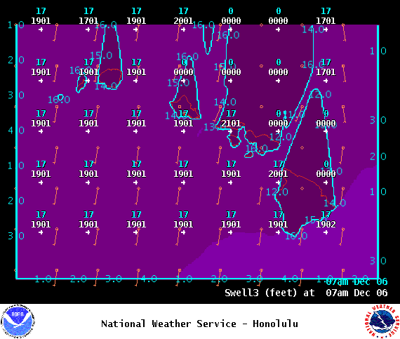
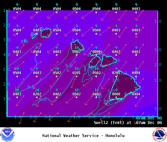
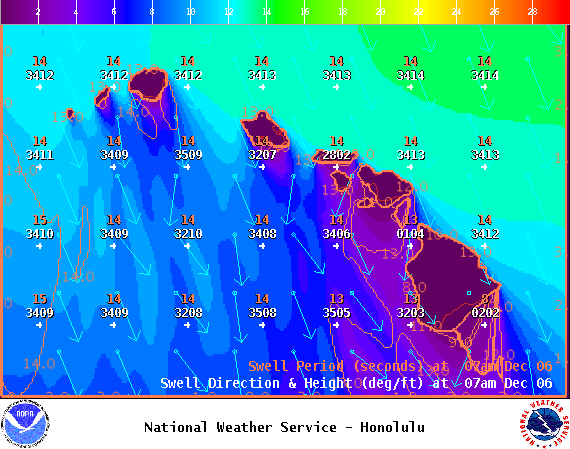
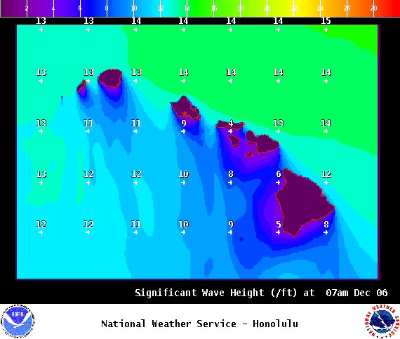
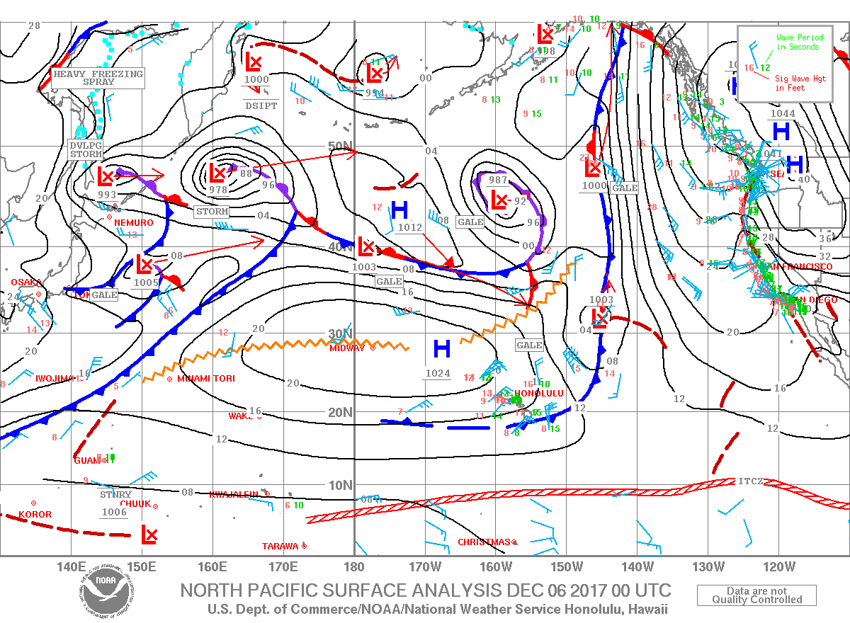
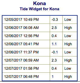
**Click directly on the images below to make them larger. Charts include: Big Island projected winds, tides, swell direction & period and expected wave heights.**
Big Island Surf Forecast
Hilo: Wave heights are expected to be overhead to double overhead today.
Kona: Wave heights are expected to be around knee/waist high today for spots catching the northwest wrap. In the afternoon, tummy / chest high waves are possible. Out of the south, knee/waist high waves forecast.
South: Surf heights expected around knee/waist high today.
Our current north-northwest swell is forecast to peak Wednesday morning and to trend down Thursday and Friday.
A new north-northwest is expected to build Saturday.
The combo of north swell, north winds, high tides and beach erosion could lead to coastal flooding. Keep that in mind as you plan your day.
A northeast reinforcement is forecast to keep wave heights elevated.
A small south swell is forecast to fill in midweek.
Keep in mind, surf heights are measured on the face of the wave from trough to crest. Heights vary from beach to beach, and at the same beach, from break to break.
Sponsored Content
Comments


