Wind Advisory in Effect for Entire State, Until 10 p.m.
UPDATE: The National Weather Service has continued the Wind ADVISORY for the entire state, in effect until Monday, Oct. 16, until 10 p.m.
Wind Advisory is issued for entire state except for Big Island summits and Haleakala summit.
Areas in the advisory include Niihau-Kauai, Windward-Kauai, Leeward-Kauai Mountains, Oahu South Shore, Waianae Coast, Oahu North Shore, Oahu Koolau, Olomana, Central Oahu, Waianae Mountains, Molokai Windward, Molokai Leeward, Lanai Makai, Lanai Mauka, Kahoolawe, Maui Windward West, Maui Leeward West, Maui Central Valley, Windward Haleakala, Leeward Haleakala, Kona, South Big Island, Big Island North and East-Kohala-Big Island Interior.
A Wind Advisory means that sustained winds of at least 30 mph or gusts of at least 50 mph are expected.
Strong high pressure north of the islands will bring locally strong trade winds through this evening. Expect winds East to northeast 20 to 30 mph, with gusts up to 50 mph.
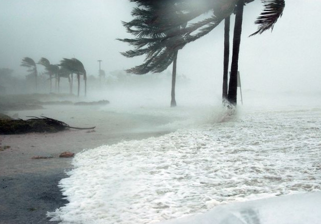
Winds this strong can bring down tree branches and make driving difficult, especially for high profile vehicles. Motorists should use extra caution.
Previous Post:
The National Weather Service has issued a wind advisory for south, north and interior areas of the Big Island, including North and East-Kohala, in effect Sunday, Oct. 15, 2017, from 10 a.m. until 8 p.m.
Areas in the advisory include but are not limited to West Maui, the Central Valley, Lāna‘i and Kaho‘olawe.
A Wind Advisory means that sustained winds of at least 30 mph or gusts of at least 50 mph are expected.
High pressure building toward the islands will bring locally strong trade winds beginning Sunday morning.
Winds this strong can bring down tree branches and make driving difficult, especially for high profile vehicles. Motorists should use extra caution.


