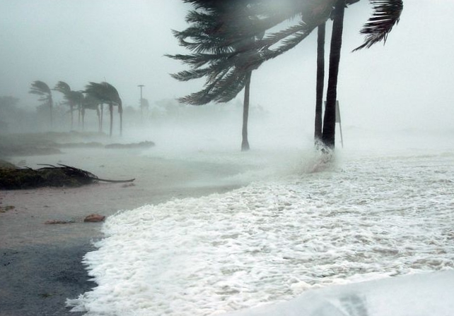
NWS: Wind & Rain to Increase Over Next Few Days
 The National Weather Service in Honolulu reported on Wednesday, Oct. 11, 2017, that strengthening trade winds will bring moisture to Hawai‘i from the east which will interact with an approaching upper level trough from the north.
Windward and mauka showers will increase in coverage as the moisture arrives Thursday.
The upper trough will destabilize the atmosphere Thursday night or Friday, allowing for locally heavy passing showers at times through the weekend.
The trade winds will focus more of the rain windward and mauka, but many of the showers will also reach leeward sides.
Trade winds will further strengthen this weekend and result in blustery conditions.
Showers will begin to taper off late Sunday as the moisture moves west of the area and the upper
trough lifts to the northeast.
The breezy trade winds will remain into early next week.


