Fun NNW Swell Today, Small SW Fills in
Alerts (as of 1:00 a.m.)
There are no weather alerts posted at this time.
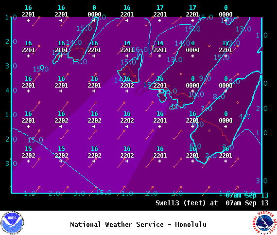
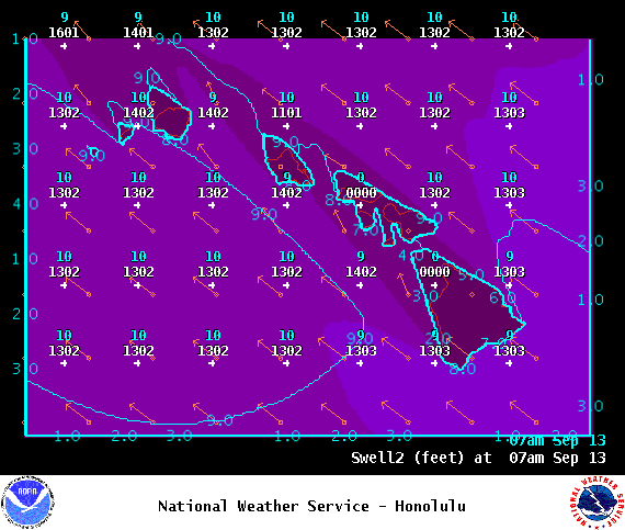
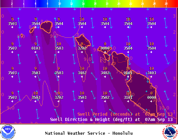
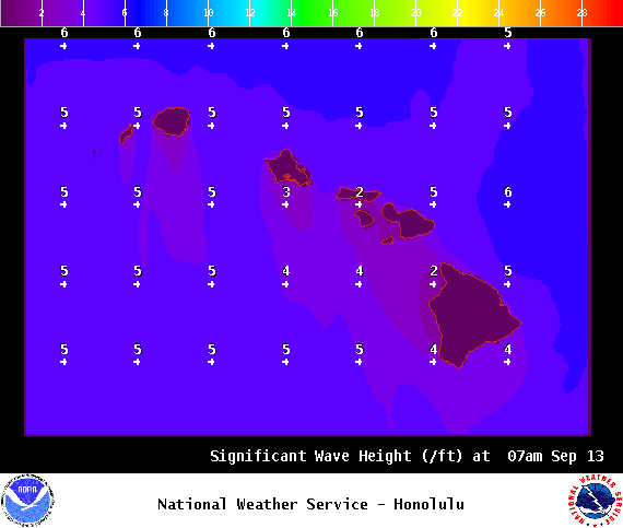
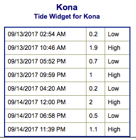
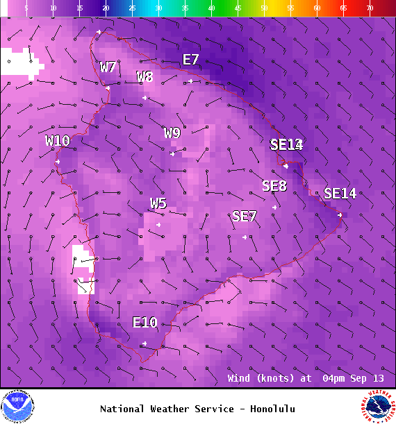
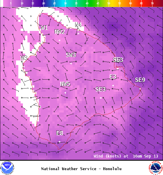
**Click directly on the images below to make them larger. Charts include: Big Island projected winds, tides, swell direction & period and expected wave heights.**
Big Island Surf Forecast
Hilo side: Surf heights are expected to chest/head high to occasionally overhead today.
Kona side: Surf heights are expected to be up to knee/waist high today.
South: Surf heights are expected to be up to knee/waish high today.
A small southerly swell is forecast to fill in Wednesday. This swell should hold through Thursday and begin fading Friday but keep some fun little waves going through the weekend. Meanwhile, another stronger storm with a wider fetch is forecast for the weekend with wave heights possibly up to waist/chest high.
Our current northerly swell is below advisory levels but a couple feet higher than models originally projected. This swell is holding through Thursday before fading Friday.
Small along east shores because of the light winds but picking up as we get into the weekend and trade winds build back in.
Keep in mind, surf heights are measured on the face of the wave from trough to crest. Heights vary from beach to beach, and at the same beach, from break to break.
**Click here for your detailed Big Island weather report.**


