New NNW Begins to Fill in Today
Alerts (as of 1:00 a.m.)
There are no weather alerts posted at this time.
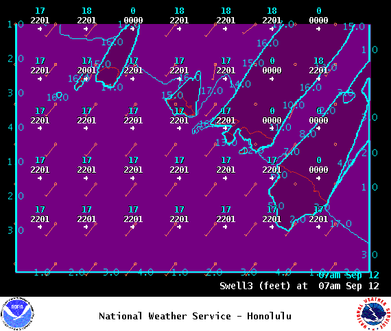
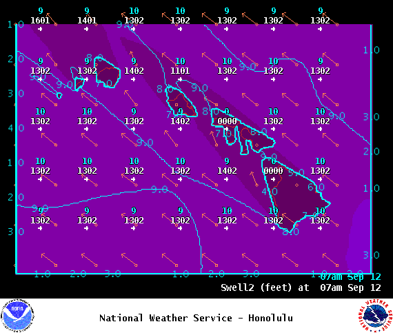
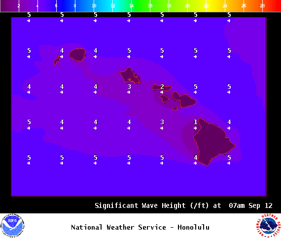
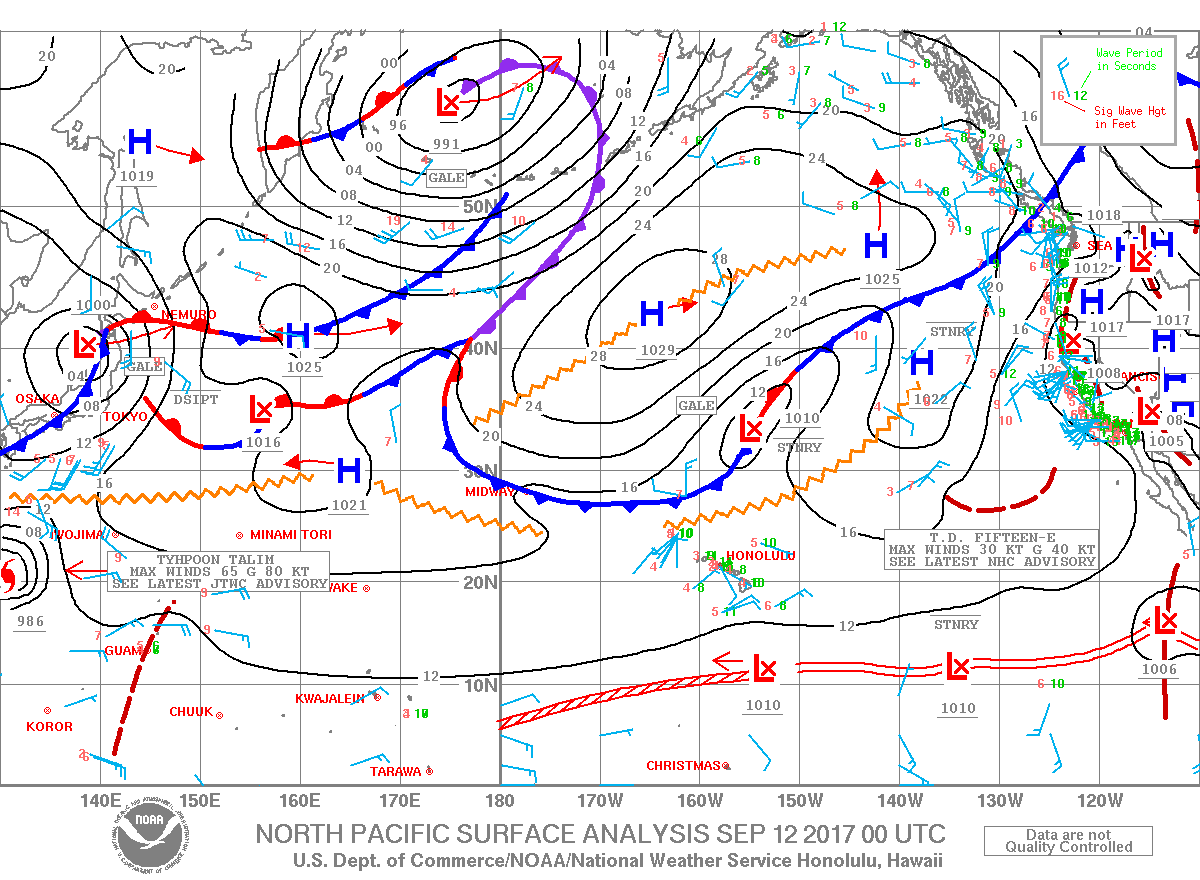
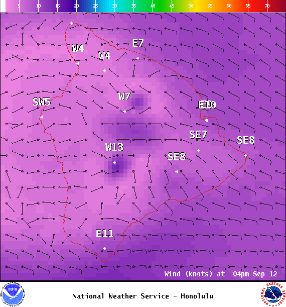
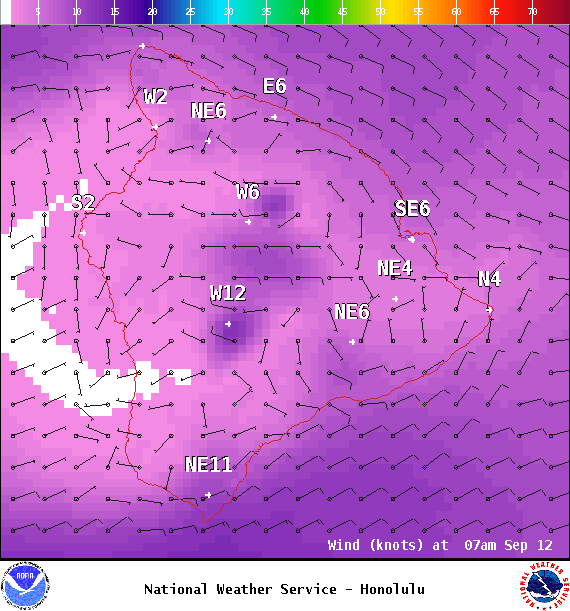
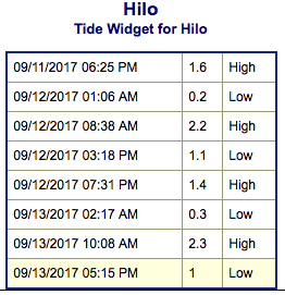
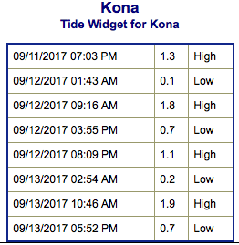
**Click directly on the images below to make them larger. Charts include: Big Island projected winds, tides, swell direction & period and expected wave heights.**
Big Island Surf Forecast
Hilo side: Surf heights are expected to knee/waist high to occasionally chest high today.
Kona side: Surf heights are expected to be up to knee high today. Pretty flat for the Kona side.
South: Surf heights are expected to be up to knee high today or less.
There is a storm that could bring maybe waist high sets to southern exposures around Wednesday. This swell should hold through Thursday and begin fading Friday. Meanwhile, another stronger storm with a wider fetch is forecast for the weekend with wave heights possibly up to waist/chest high.
Our current northwest swell is fading and down to traces by Tuesday. Another small northerly swell is due in Tuesday / Wednesday and holding through Thursday before fading Friday.
Small along east shores because of the light winds but picking up as we get into the weekend and trade winds build back in.
Keep in mind, surf heights are measured on the face of the wave from trough to crest. Heights vary from beach to beach, and at the same beach, from break to break.
Sponsored Content
Comments


