

Increase In Showers Expected Soon

Image: James Grenz
Alerts (as of 1:00 a.m.)
Special Weather Statement: Coastal flooding associated with spring tides (King tides) is occurring and expected through the weekend. The greatest potential for flooding is during the peak daily tide. This risk is forecast to diminish as we head into the middle of next week and the daily tide starts to drop.
**Click directly on the images below to make them larger. Charts include: Big Island high/low forecasted temperatures, projected winds, chance of cloud cover, projected localized weather conditions, vog/SO2 forecast and expected wave heights.**
Looking Ahead
Trade winds are expected to stick around with lighter winds expected to allow local sea breezes to take hold across leeward areas and possibly bring an increase in clouds and showers for the afternoon and evening. Low clouds moving along with our trade winds will still affect windward and mauka spots from time to time. Tropical moisture from the east is expected to bring an increase in shower coverage and muggy conditions to the state tonight through early Tuesday. Expect drier and windier conditions to return by the second half of next week.
Today
We expect east winds around 15 mph with higher gusts. High temperatures are forecast from 83° to 88°. Partly to mostly cloudy skies with scattered showers for windward spots in the morning and isolated afternoon showers forecast for the Kona side.
UV index at 12 (“extreme” exposure level)
Tonight
East winds are forecast up to 15 mph. Partly to mostly cloudy skies with showers likely for windward spots and isolated evening showers for leeward areas. Low temperatures from 71° to 76°.
Our Big Island Now Weather homepage always includes daily: Sunrise | Sunset | Moonrise | Moonset | Moon Phase | Live Weather Cams | 5-day Forecast | Current Temperature & Conditions
**Click here for your detailed Big Island surf report.**

Image: NOAA

Image: NOAA

Image: NOAA

Image: NOAA
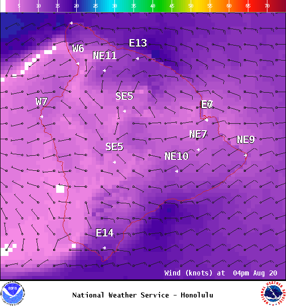
Image: NOAA
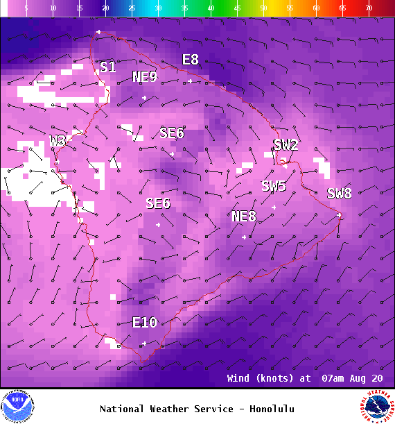
Image: NOAA
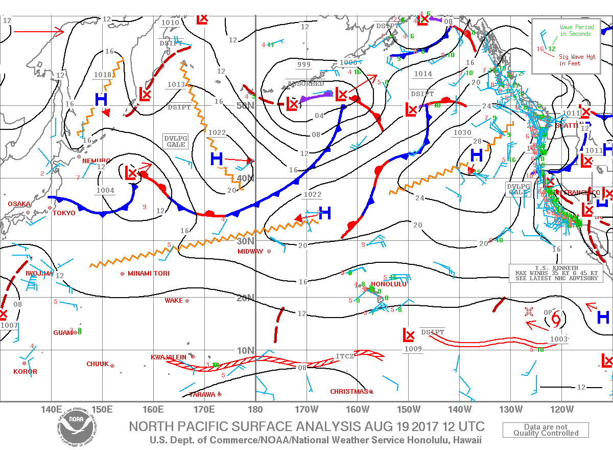
Image: NOAA
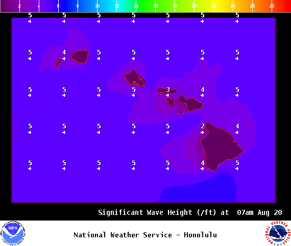
Image: NOAA
Sponsored Content


