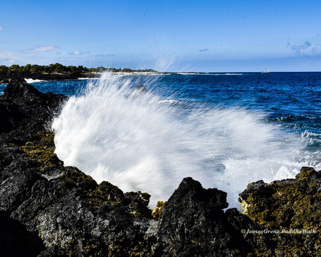
Big Island Surf: Trade Wind Swell to Increase
BIG ISLAND NOW SURF FORECAST
Alerts (as of 1 a.m.)
There are no marine alerts posted at this time.
Check Big Island Now’s breaking news section for any urgent weather alerts or updates to the weather alerts listed above.
Big Island Surf Forecast
Today
Hilo side: Surf heights are expected to be knee/waist high today.
Kona side: Wave heights are expected to be ankle/knee-high today. Some spots will be flat.
South: Wave heights are expected to be ankle/knee-high today. Some spots will be flat.
Small trade wind swell is forecast along east-facing shores. This should pick up some Friday and into the weekend as our winds pick up in speed.
Looking Ahead
A southwest pulse is forecast to move in this weekend, filling in late Friday into Saturday morning and easing Sunday, with sets in the chest-high range. Potential for the next swell isn’t until around the Aug. 12.
As we track Typhoon Noru, it’s now looking like just traces of swell will make it to Hawai‘i.
Keep in mind, surf heights are measured on the face of the wave from trough to crest. Heights vary from beach to beach, and at the same beach, from break to break.


