

Drier, More Stable Weather Expected to Fill in Today

Image: James Grenz
Alerts (as of 1:00 a.m.)
Small Craft Advisory: East to northeast winds up to 25 knots through 6:00 p.m. Sunday.
**Click directly on the images below to make them larger. Charts include: Big Island high/low forecasted temperatures, projected winds, chance of cloud cover, projected localized weather conditions, vog/SO2 forecast and expected wave heights.**
Looking Ahead
Moderate to breezy trade winds are forecast into next week. Drier, more stable conditions are forecast to move in. A few pockets of clouds and showers could continue into the weekend with periods of showery weather.
Today
We expect east winds around 5 to 20 mph. High temperatures are forecast from 84° to 89°. Partly cloudy skies with scattered showers for the Hilo side. Sunny skies in the morning for Kona with afternoon isolated showers.
UV index at 12 (“extreme” exposure level)
Tonight
East winds are forecast around 5 to 20 mph. Mostly cloudy skies with scattered windward showers, clearing skies for leeward spots. Low temperatures from 73° to 78°.
Our Big Island Now Weather homepage always includes daily: Sunrise | Sunset | Moonrise | Moonset | Moon Phase | Live Weather Cams | 5-day Forecast | Current Temperature & Conditions
**Click here for your detailed Big Island surf report.**
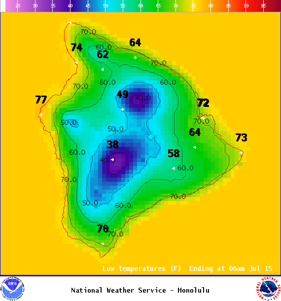
Image: NOAA

Image: NOAA
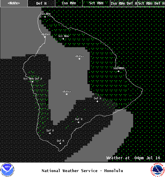
Image: NOAA
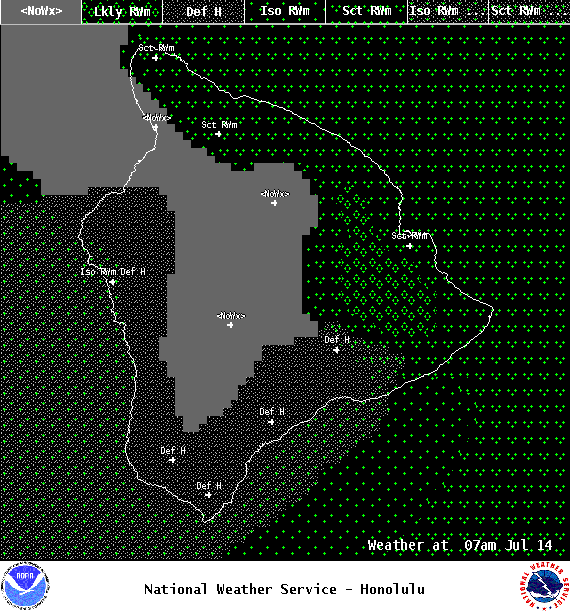
Image: NOAA
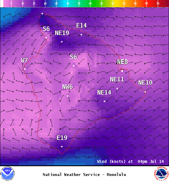
Image: NOAA

Image: NOAA
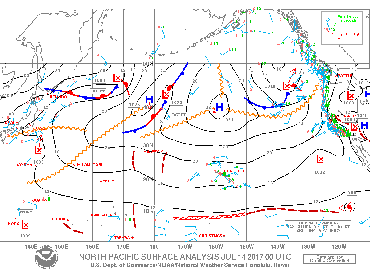
Image: NOAA
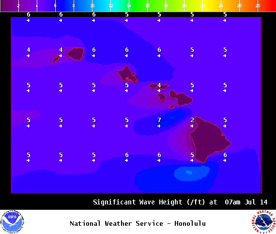
Image: NOAA
Sponsored Content


