

NE Swell Fills in, SSW Holds Today for Big Island

Image: James Grenz
Alerts (as of 1:00 a.m.)
There are no weather alerts posted at this time.
**Click directly on the images below to make them larger. Charts include: Big Island projected winds, tides, swell direction & period and expected wave heights.**
Big Island Surf Forecast
Hilo side: Surf heights are expected to be waist/head high at the best breaks open to the swell.
Kona side: Wave heights are expected to be knee/waist high today. The best breaks could get up to chest high by sunset.
South: Wave heights are expected to be knee/waist high today. The best breaks could get up to chest high by sunset.
Our current south-southwest swell is fading but a reinforcement will keep wave heights maintained through Monday and Tuesday. A couple more swells are expected for June 29th and July 3rd. Will keep an eye on it.
Trade swell mixing with northeast swell will bring waist to head high waves for the Hilo side through Tuesday.
Keep in mind, surf heights are measured on the face of the wave from trough to crest. Heights vary from beach to beach, and at the same beach, from break to break.
**Click here for your detailed Big Island weather report.**
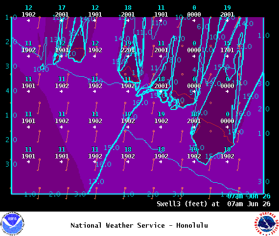
Image: NOAA

Image: NOAA
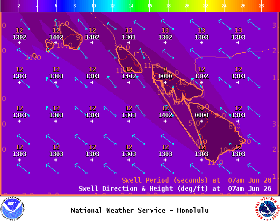
Image: NOAA
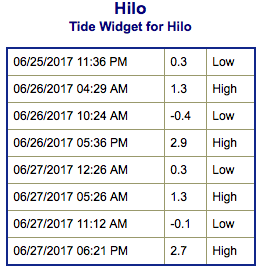
Image: NOAA
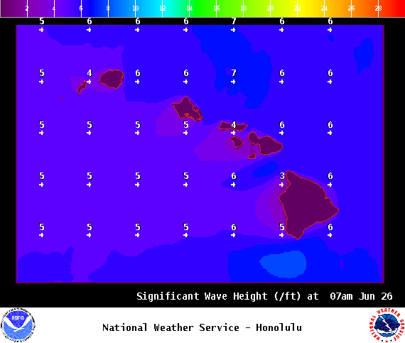
Image: NOAA

Image: NOAA
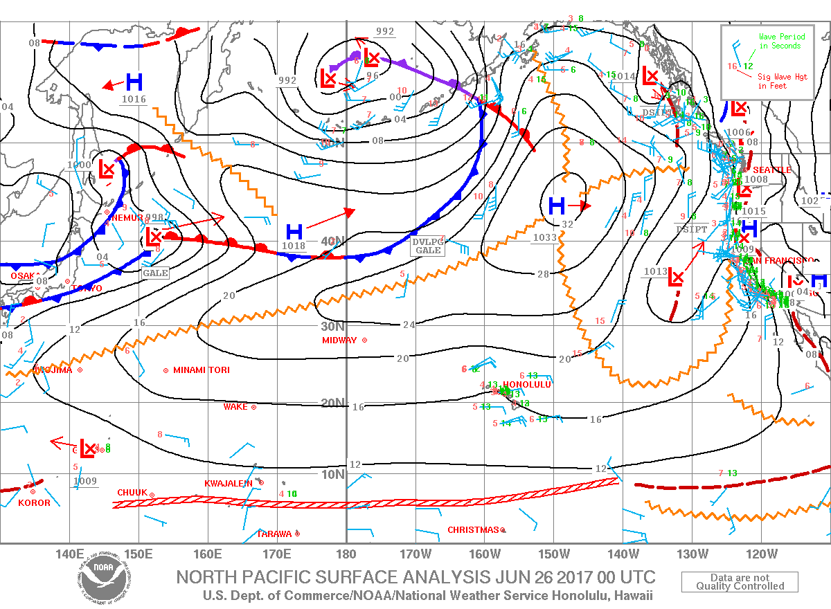
Image: NOAA
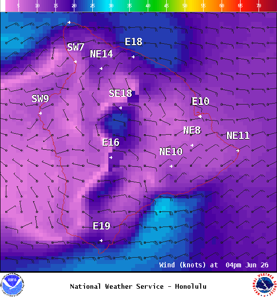
Image: NOAA
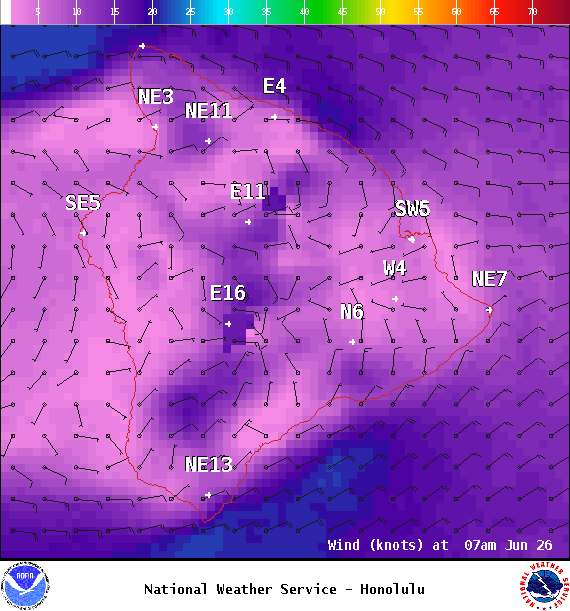
Image: NOAA
Sponsored Content


