

Lighter Winds for Weekend, Unstable Weather Possible

Image: James Grenz
Alerts (as of 1:00 a.m.)
Special Weather Statement: King tides are possible each day into the upcoming weekend, especially for south facing shores. The best chance for coastal flooding impacts is in the afternoon and during peak tides.
**Click directly on the images below to make them larger. Charts include: Big Island high/low forecasted temperatures, projected winds, chance of cloud cover, projected localized weather conditions, vog/SO2 forecast and expected wave heights.**
Looking Ahead
A disturbance is forecast to pass over the islands this weekend. This will weaken the trades and increase showers for some areas. That weather feature is expected to weaken and move away early next week and our weather will return back to normal as that happens. Windy conditions are expected on Tuesday.
Today & Sunday
We expect northeast winds around 5 to 15 mph with afternoon sea breezes. High temperatures are forecast from 82° to 87° but feeling warmer where the winds are light. Mostly cloudy skies with showers likely in windward spots in the morning. Clouds and showers shift to leeward spots for the afternoon with mostly cloudy skies there and scattered showers. Sunday, partly cloudy with scattered windward showers and afternoon clouds with scattered showers for the Kona side.
UV index at 12 (“extreme” exposure level)
Tonight & Sunday Night
Trade winds are forecast around 5 to 15 mph with local land breezes developing. Mostly cloudy skies with showers likely in windward spots and clearing skies as the night goes on for the Kona side. Low temperatures from 70° to 75°. Sunday, partly cloudy with scattered windward showers.
Our Big Island Now Weather homepage always includes daily: Sunrise | Sunset | Moonrise | Moonset | Moon Phase | Live Weather Cams | 5-day Forecast | Current Temperature & Conditions
**Click here for your detailed Big Island surf report.**

Image: NOAA

Image: NOAA

Image: NOAA

Image: NOAA
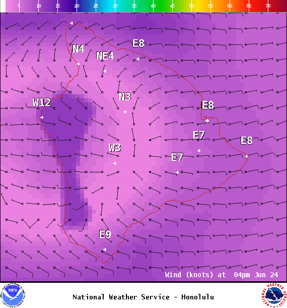
Image: NOAA
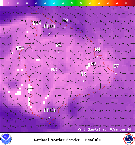
Image: NOAA
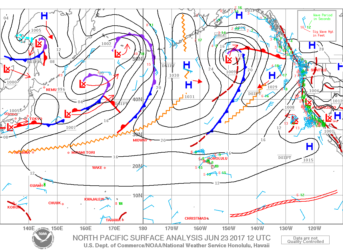
Image: NOAA
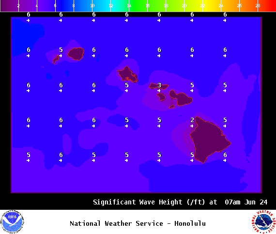
Image: NOAA
Sponsored Content


