

Surf Report: Spring Tides Expected to Bring Coastal Flooding
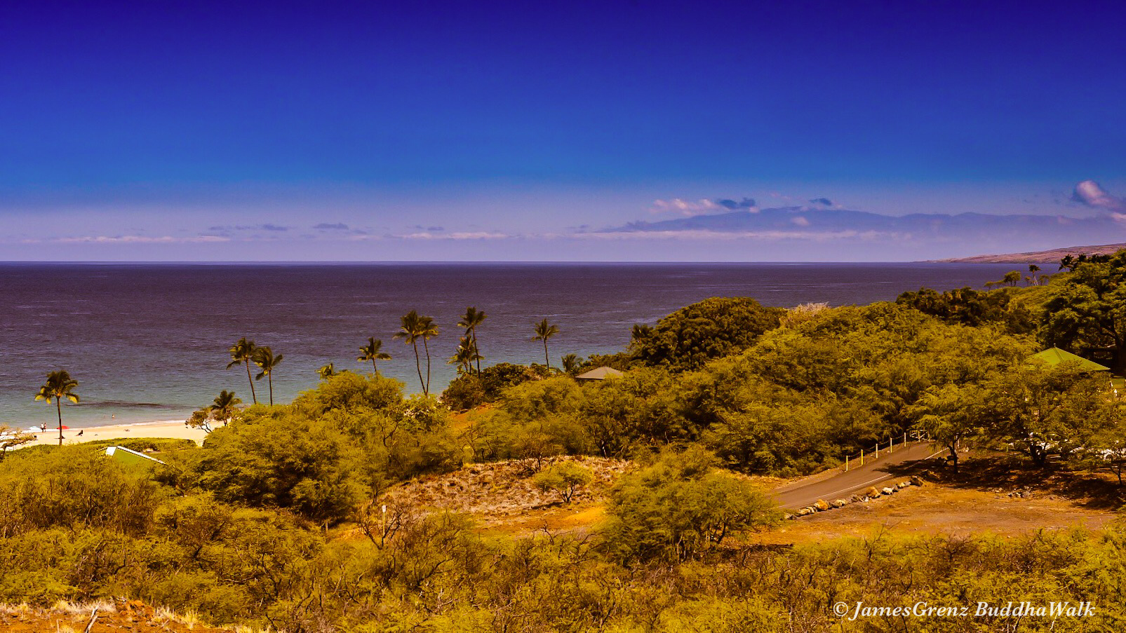
Image: James Grenz
Alerts (as of 1:00 a.m.)
Special Weather Statement: Coastal flooding is anticipated the Memorial Day weekend along all shores of the Hawaiian Islands due to record level spring (king) tides. Impacts include beach flooding, standing water on roadways and low-lying areas near the coast. A large summer south swell is also expected to exacerbate the problem leading to additional beach run up, flooding and erosion.
High Surf Advisory: South facing shores through 6 a.m. Sunday.
**Click directly on the images below to make them larger. Charts include: Big Island projected winds, tides, swell direction & period and expected wave heights.**
Big Island Surf Forecast
Hilo side: Wave heights are forecast to be knee/shoulder high today.
Kona side: Wave heights are expected to be head high to overhead with the best breaks getting up to double overhead on the sets.
South: Wave heights are expected to be head high to overhead with the best breaks getting up to double overhead on the sets. At South Point, waves will be even larger.
Our current advisory level south-southwest swell is peaking into early Saturday. A slow easing trend will begin on Sunday into early next week.
Our current north-northwest continues to fade. A fun northwest is forecast for the middle of next week. Will keep an eye on the models.
Keep in mind, surf heights are measured on the face of the wave from trough to crest. Heights vary from beach to beach, and at the same beach, from break to break.
**Click here for your detailed Big Island weather report.**

Image: NOAA

Image: NOAA

Image: NOAA

Image: NOAA
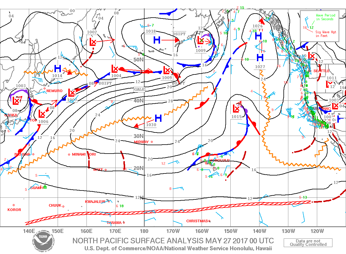
Image: NOAA

Image: NOAA

Image: NOAA

Image: NOAA
Sponsored Content


