

High Surf Advisory East Shores, Overlapping SSW Swells

Image: James Grenz
Alerts (as of 1:00 a.m.)
High Surf Advisory: East facing shores of the Big Island through 6 p.m. Monday.
Small Craft Advisory: ʻAlenuihāhā channel and Big Island southeast and leeward coastal waters through 6 p.m. Tuesday.
**Click directly on the images below to make them larger. Charts include: Big Island projected winds, tides, swell direction & period and expected wave heights.**
Big Island Surf Forecast
Hilo side: Wave heights are forecast to be head high to overhead today.
Kona side: Wave heights are expected to be knee/thigh high today with the best breaks getting up to waist high.
South: Wave heights are expected to be knee/thigh high today with the best breaks getting up to waist high.
Small overlapping south to south-southwest swells are expected to continue through the middle of the week. We expect something fun around the 19th pending development of the storms and systems. Long range models are showing we may get a good swell toward the end of the month. Will keep an eye on it.
Small northwest swell is forecast to build on the 18th, otherwise nothing much expected out of the North Pacific.
Keep in mind, surf heights are measured on the face of the wave from trough to crest. Heights vary from beach to beach, and at the same beach, from break to break.
**Click here for your detailed Big Island weather report.**

Image: NOAA

Image: NOAA
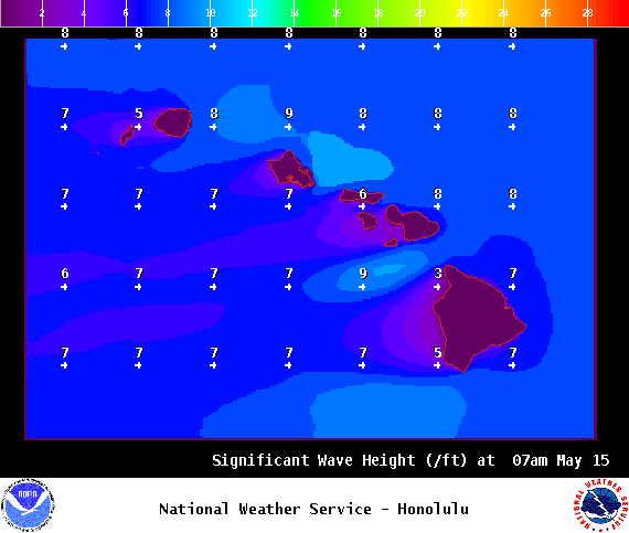
Image: NOAA

Image: NOAA

Image: NOAA
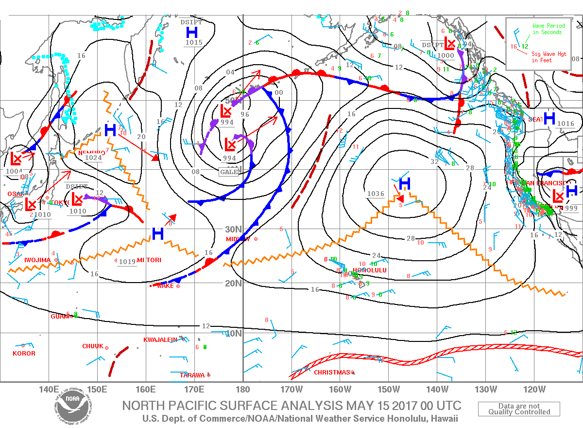
Image: NOAA
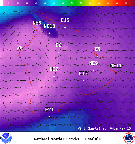
Image: NOAA
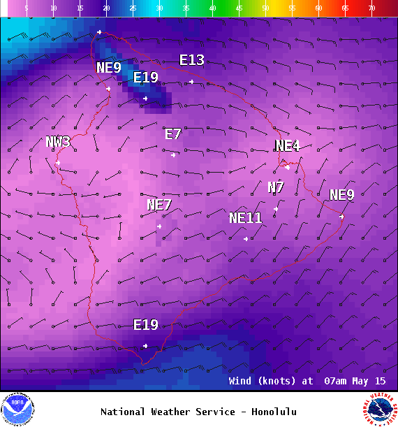
Image: NOAA
Sponsored Content


