

SSW Swell Continues Fading Today

Image: James Grenz
Alerts (as of 1:00 a.m.)
Small Craft Advisory: Hawaii County leeward coastal waters and the Alenuihaha Channel through 6 p.m. Friday.
**Click directly on the images below to make them larger. Charts include: Big Island projected winds, tides, swell direction & period and expected wave heights.**
Big Island Surf Forecast
Hilo side: Wave heights are forecast to be knee/shoulder high today.
Kona side: Wave heights are expected to be waist/chest high this morning and decreasing through the day.
South: Wave heights are expected to be waist/chest high this morning and decreasing through the day.
A longer-period late season northwest swell is expected to fill in late Sunday into May 8th.
Our current south-southwest swell continues to slowly ease into the end of the work week. The second half of the week, things will slow down.
Keep in mind, surf heights are measured on the face of the wave from trough to crest. Heights vary from beach to beach, and at the same beach, from break to break.
**Click here for your detailed Big Island weather report.**
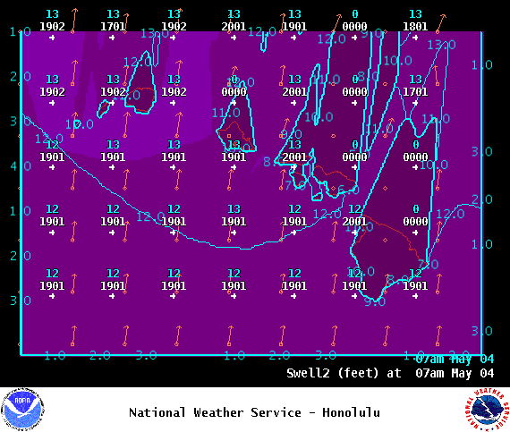
Image: NOAA
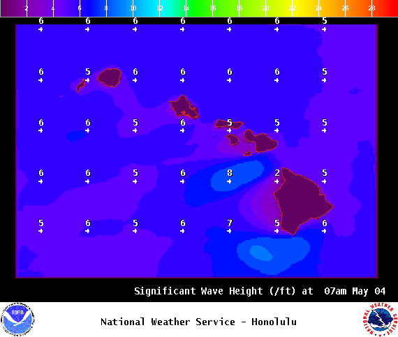
Image: NOAA

Image: NOAA
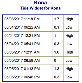
Image: NOAA
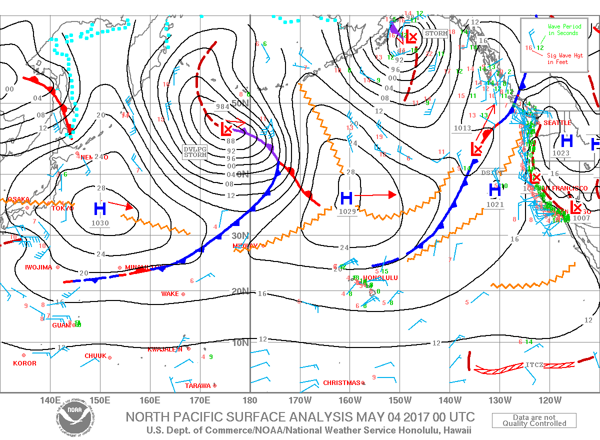
Image: NOAA
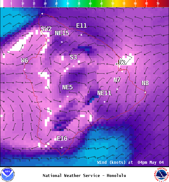
Image: NOAA

Image: NOAA
Sponsored Content


