

ESE Winds Back in The Forecast Today

Image: James Grenz
Alerts (as of 1:00 a.m.)
Small Craft Advisory: Alenuihaha Channel and southeast waters of the Big Island through 6 a.m. Wednesday.
**Click directly on the images below to make them larger. Charts include: Big Island high/low forecasted temperatures, projected winds, chance of cloud cover, projected localized weather conditions, vog/SO2 forecast and expected wave heights.**
Looking Ahead
Moderate east to southeast winds are forecast into midweek. Drier than usual weather is expected through Tuesday. From late Tuesday windward and mauka showers are expected. This weekend there’s the possibility for unsettled weather.
Today
We expect east-southeast winds today from 15 to 20 mph. High temperatures are forecast from 80° to 85°. Mostly sunny skies with isolated showers in the morning and partly cloudy with with scattered afternoon showers in windward spots and isolated showers for leeward areas.
UV index at 12 (“extreme” exposure level)
Tonight
East winds are forecast around 15 mph. Mostly cloudy skies with windward showers likely and clearing skies for the Kona side. Low temperatures from 69° to 74°.
Our Big Island Now Weather homepage always includes daily: Sunrise | Sunset | Moonrise | Moonset | Moon Phase | Live Weather Cams | 5-day Forecast | Current Temperature & Conditions
**Click here for your detailed Big Island surf report.**

Image: NOAA

Image: NOAA

Image: NOAA

Image: NOAA
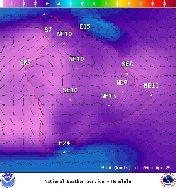
Image: NOAA

Image: NOAA
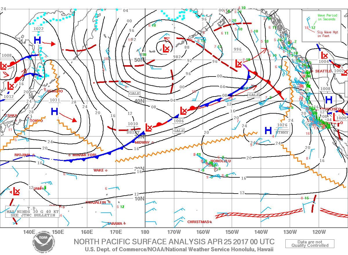
Image: NOAA
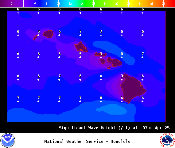
Image: NOAA
Sponsored Content


