

WNW Swell Peaks Today, Larger WNW on Horizon
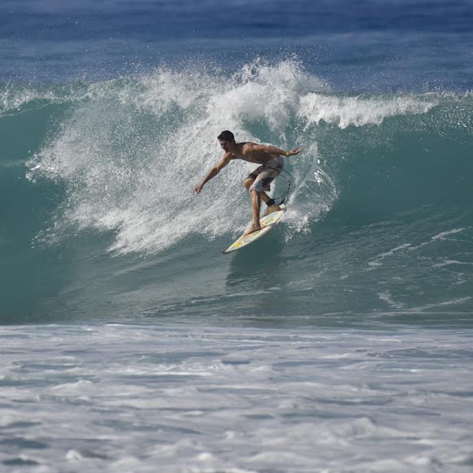
Image: James Grenz
Alerts (as of 1:00 a.m.)
There are no weather alerts posted at this time.
**Click directly on the images below to make them larger. Charts include: Big Island projected winds, tides, swell direction & period and expected wave heights.**
Big Island Surf Forecast
Hilo side: Wave heights are forecast to be ankle/waist high today.
Kona side: Wave heights are expected to be knee/thigh high today with waist high sets at the best breaks.
South: Wave heights are expected to be knee/thigh high today.
Small south-southwest is forecast to continue fading Tuesday with just leftovers by Wednesday.
A west-northwest swell is expected to peak Tuesday and fade through mid week. A larger west-northwest is lining up for the 20th but still pending development of the storm.
Keep in mind, surf heights are measured on the face of the wave from trough to crest. Heights vary from beach to beach, and at the same beach, from break to break.
**Click here for your detailed Big Island weather report.**
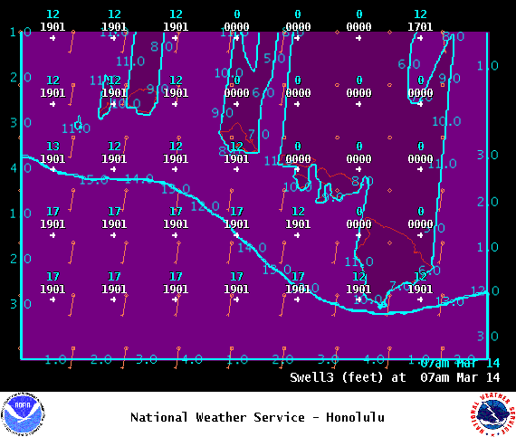
Image: NOAA
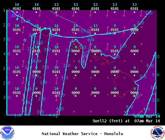
Image: NOAA
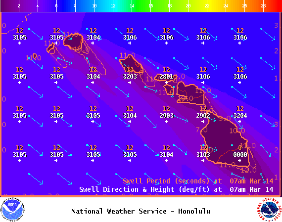
Image: NOAA

Image: NOAA
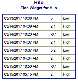
Image: NOAA

Image: NOAA

Image: NOAA
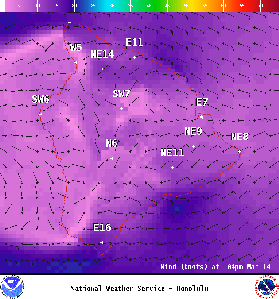
Image: NOAA
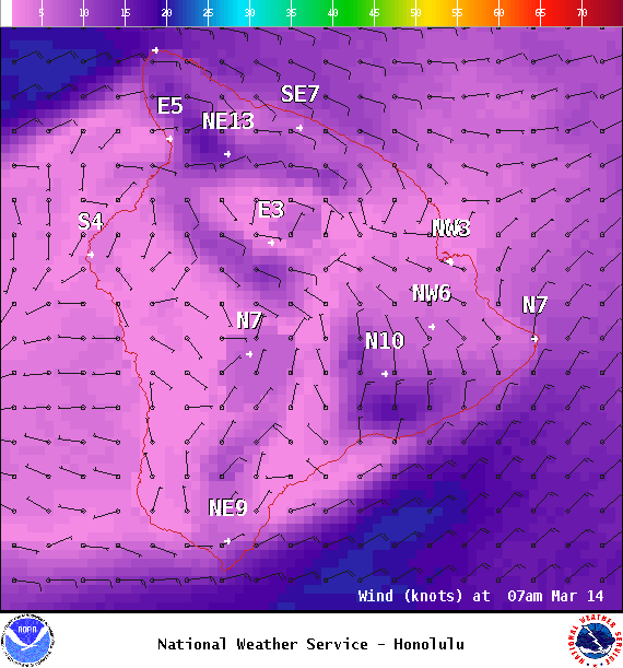
Image: NOAA
Sponsored Content


