

WNW Swell Builds as SSW Fades

Image: James Grenz
Alerts (as of 1:00 a.m.)
There are no weather alerts posted at this time.
**Click directly on the images below to make them larger. Charts include: Big Island projected winds, tides, swell direction & period and expected wave heights.**
Big Island Surf Forecast
Hilo side: Wave heights are forecast to be knee/shoulder high today.
Kona side: Wave heights are expected to be knee/waist high today with a building swell bringing waist high surf by sunset.
South: Wave heights are expected to be knee/waist high today with a building swell bringing waist high surf by sunset.
Small south-southwest is forecast to fade Monday. Leftovers are forecast for Tuesday as the swell fades.
A west-northwest swell is expected to build late Monday and peak late Tuesday and fade through mid week.
Keep in mind, surf heights are measured on the face of the wave from trough to crest. Heights vary from beach to beach, and at the same beach, from break to break.
**Click here for your detailed Big Island weather report.**
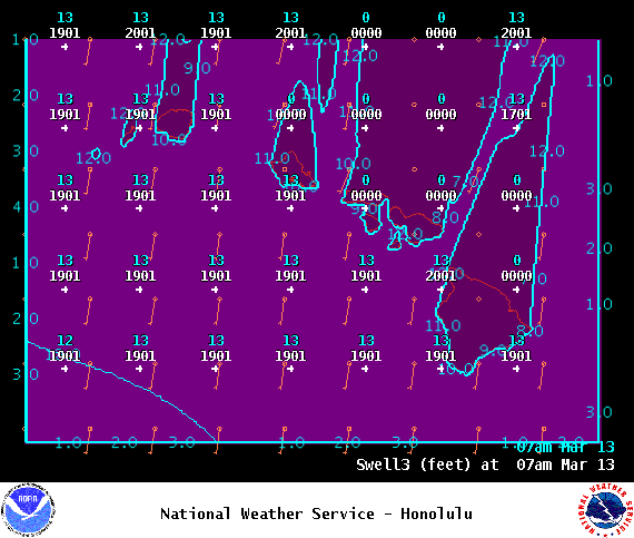
Image: NOAA
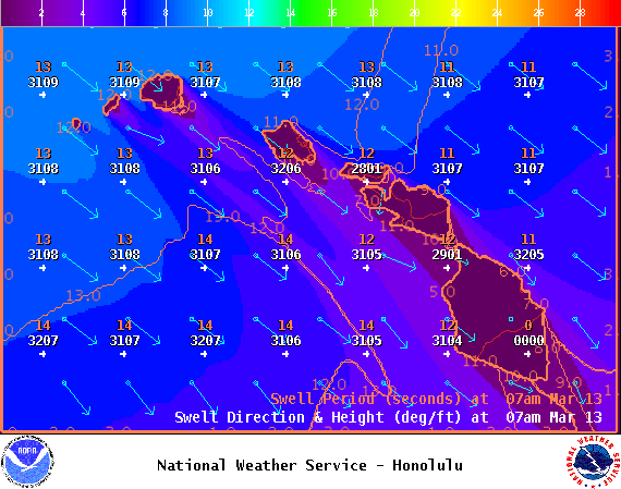
Image: NOAA

Image: NOAA
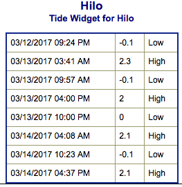
Image: NOAA

Image: NOAA
Image: NOAA

Image: NOAA
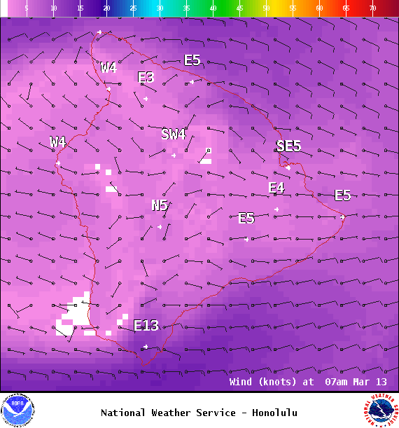
Image: NOAA
Sponsored Content


