

Disturbance Expected Sunday

Image: James Grenz
Alerts (as of 1:00 a.m.)
There are no weather alerts posted at this time.
**Click directly on the images below to make them larger. Charts include: Big Island high/low forecasted temperatures, projected winds, chance of cloud cover, projected localized weather conditions, vog/SO2 forecast and expected wave heights.**
Looking Ahead
Moderate trade winds are forecast through the weekend. Drier than usual conditions are expected through Sunday morning and then a disturbance will take hold of the forecast. The atmosphere will become more moist and unstable and heavy rainfall is possible through the first half of next week, especially on the Big Island and Maui. Light winds and dry, hazy weather are expected for the second half of the work week.
Today & Sunday
We have variable winds today around 15 mph. High temperatures are forecast from 76° to 81°. Mostly cloudy skies are expected with scattered windward showers and isolated leeward showers in the afternoon. Hazy skies are forecast. Sunday, cloudy skies with scattered showers during the day and southeast winds around 15 mph.
UV index at 8 (“very high” exposure level)
Tonight
Variable winds are forecast around 15 mph. Mostly cloudy skies are expected with scattered windward showers and isolated leeward showers. Low temperatures from 63° to 68°. Sunday night, numerous showers are expected for windward spots with scattered leeward showers and southeast winds around 15 mph.
Our Big Island Now Weather homepage always includes daily: Sunrise | Sunset | Moonrise | Moonset | Moon Phase | Live Weather Cams | 5-day Forecast | Current Temperature & Conditions
**Click here for your detailed Big Island surf report.**
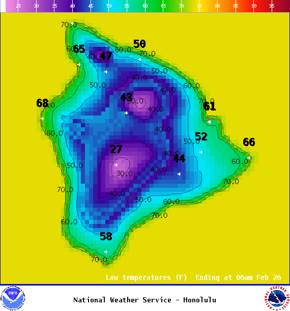
Image: NOAA

Image: NOAA

Image: NOAA
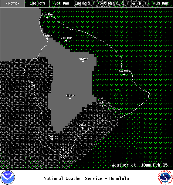
Image: NOAA
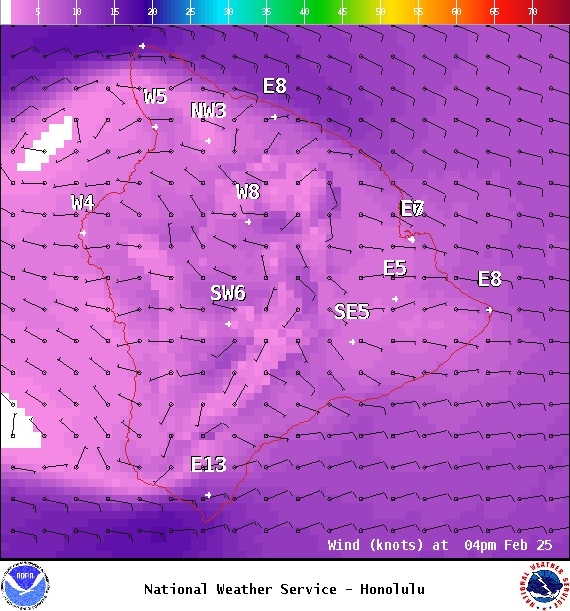
Image: NOAA
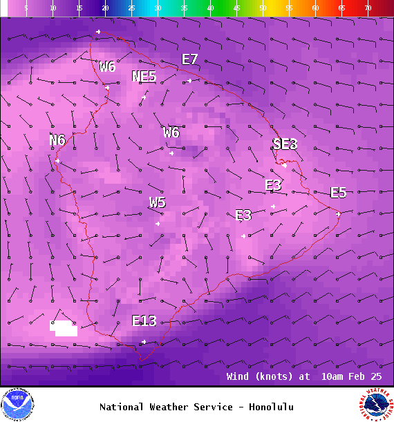
Image: NOAA
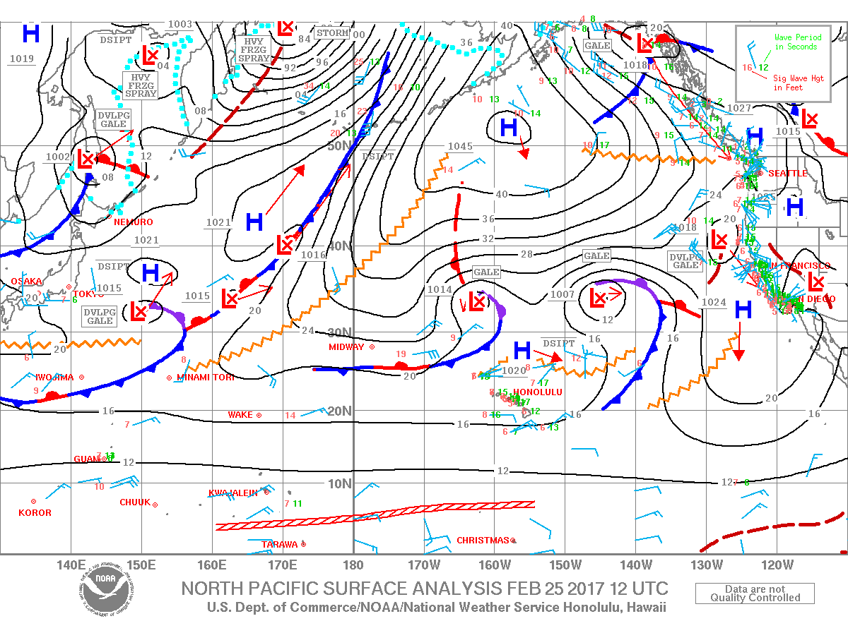
Image: NOAA

Image: NOAA
Sponsored Content


