Heavy Showers from NW Expected Sunday, Monday
The National Weather Service in Honolulu released a special announcement at 1:36 p.m., on Friday, Feb. 3, 2017.
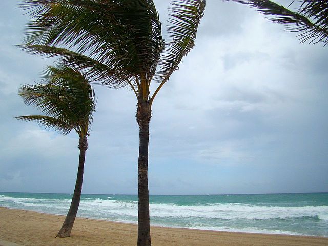
Increasing Kona winds will carry possible heavy showers late this weekend for the state including the entire Big Island.
The recent spell of light winds and quiet weather will come to an end later this weekend as a strong front approaches the Aloha State from the northwest.
Southwest winds will increase ahead of this front Sunday and Sunday night, especially near Kaua‘i and O‘ahu, where it will become locally windy.
Kona winds such as these can cause localized problems on the typical windward side of each island, as they blow downslope from the mountains and accelerate. For example, areas like Kailua and
For example, areas like Kailua and Kaneohe on O‘ahu can get sudden, strong gusts in these types of
patterns. This is in contrast to the recent wind events, where trade winds brought the strongest gusts to the leeward sides.
A narrow band of gusty heavy showers and possibly a few embedded thundershowers are expected to a company the front as it passes through.
The forecast has the front reaching Kaua‘i late Sunday night, O‘ahu Monday morning, Maui County Mo day afternoon and the Big Island Monday night.
The front appears as though it will be moving fast enough to prevent widespread significant flooding problems, but the rain may be briefly heavy enough to cause localized ponding or minor flooding.
Drier gusty northwest winds and more settled weather will follow after the front comes through.
Sponsored Content
Comments


