

Large WNW Builds Today for Big Island
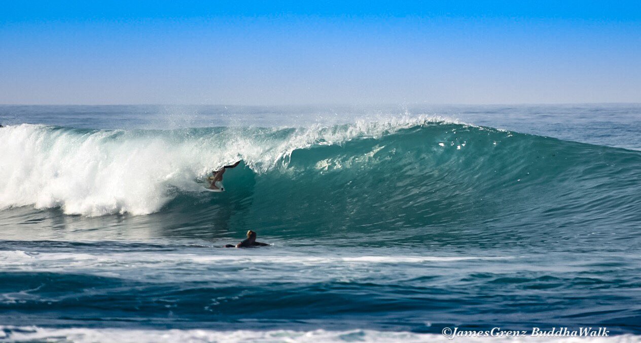
Image: James Grenz
Alerts (as of 1:00 a.m.)
High Surf Advisory: East shores of Big Island through 6 a.m. Tuesday.
Small Craft Advisory: All windward waters and channels through 6 a.m. Tuesday.
**Click directly on the images below to make them larger. Charts include: Big Island projected winds, tides, swell direction & period and expected wave heights.**
 Big Island Surf Forecast
Hilo side: Wave heights are forecast to be overhead to double overhead today for the best exposures.
Kona side: Wave heights are expected to be knee/thigh high today with chest high sets possible around sunset.
South: Wave heights are expected to be knee/thigh high today with chest high sets possible around sunset.
 A large west-northwest is forecast to build quickly Tuesday, peak Wednesday and Thursday and fade after that. Another storm is forecast to generate swell for the weekend of the 28th. Will keep an eye on it.
Nothing significant is expected out of the South Pacific for the foreseeable future.
Keep in mind, surf heights are measured on the face of the wave from trough to crest. Heights vary from beach to beach, and at the same beach, from break to break.
**Click here for your detailed Big Island weather report.**

Image: NOAA

Image: NOAA

Image: NOAA

Image: NOAA

Image: NOAA

Image: NOAA

Image: NOAA
Sponsored Content


