

Front Brings Enhanced Showers Soon

Image: Pete Haberly
Alerts (as of 1:00 a.m.)
Small Craft Advisory: Most coastal waters and channels due to northeast winds 20 to 25 knots. Posted through Friday at 6 p.m.
Gale Warning: All offshore waters.
**Click directly on the images below to make them larger. Charts include: Big Island high/low forecasted temperatures, projected winds, chance of cloud cover, projected localized weather conditions, vog/SO2 forecast and expected wave heights.**
Looking Ahead
Trade winds are expected to pick up in strength late Thursday and Friday behind a front. Winds will then decrease again over the weekend. As usual, trade winds will keep clouds and showers focused over windward and mauka areas. An increase in showers is forecast for Thursday and Friday with showers then expected to decrease through the weekend as the front dissipates.
Today
Mostly cloudy skies are expected today with scattered showers for windward and mauka spots. Hazy for the Kona side with partly cloudy skies and isolated afternoon showers. High temperatures from 78° to 83°. Winds will be northeast around 15 to 20 mph.
UV index at 5 (“moderate” exposure level)
Tonight
Northeast winds are forecast 15 to 20 mph. Mostly cloudy skies for windward spots with scattered showers and isolated evening showers for the Kona side with clearing as the night goes on. Low temperatures from 66° to 71°.
Our Big Island Now Weather homepage always includes daily: Sunrise | Sunset | Moonrise | Moonset | Moon Phase | Live Weather Cams | 5-day Forecast | Current Temperature & Conditions
**Click here for your detailed Big Island surf report.**

Image: NOAA
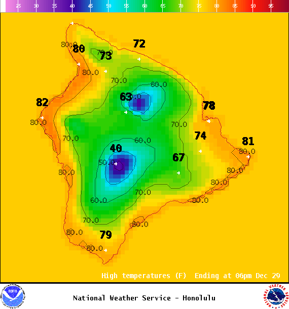
Image: NOAA
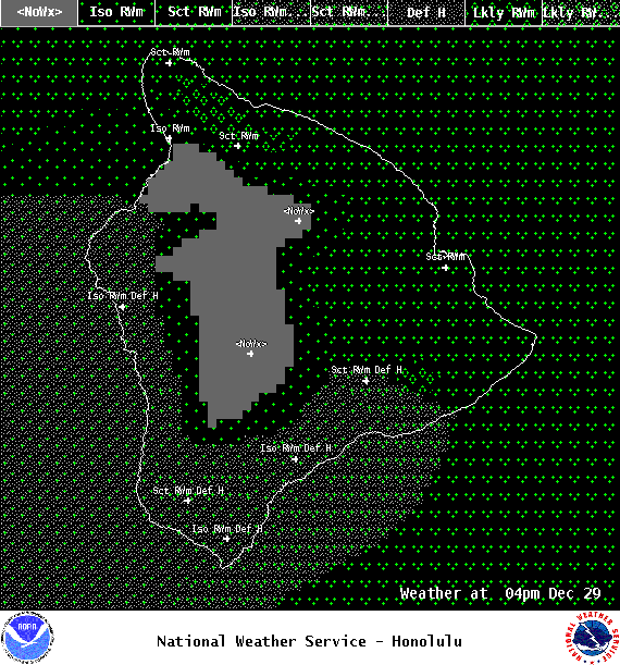
Image: NOAA
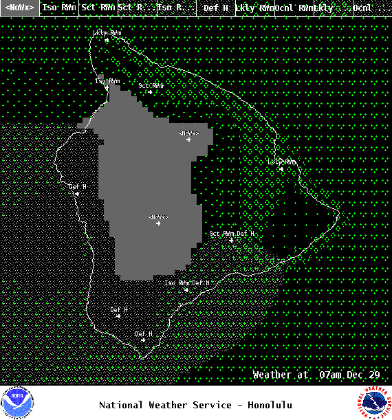
Image: NOAA

Image: NOAA

Image: NOAA
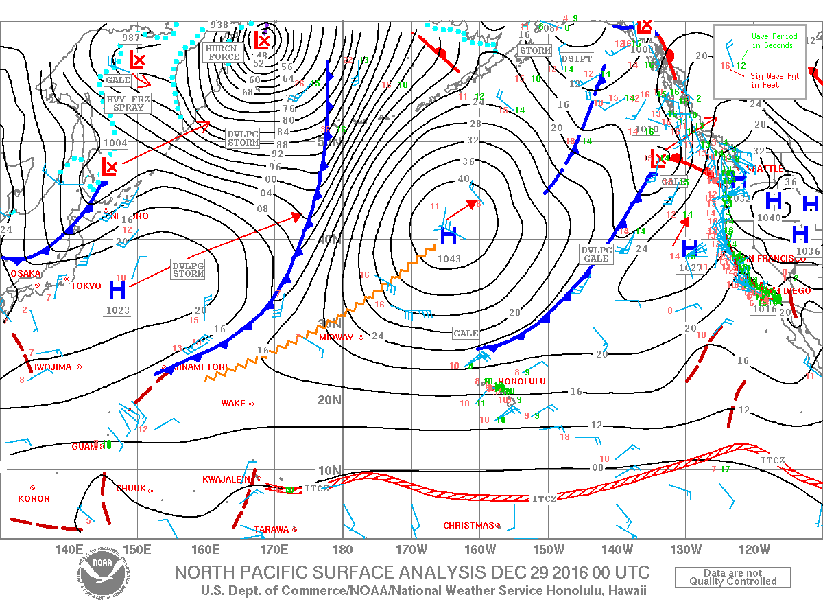
Image: NOAA
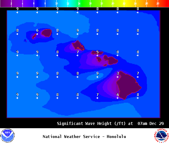
Image: NOAA
Sponsored Content


