

Wind Speeds Fluctuate This Week

Image: Chris Carroll
Alerts (as of 1:00 a.m.)
High Surf Advisory: East shores of Big Island through 6 p.m. Wednesday.
Small Craft Advisory: All coastal waters and channels due to east winds 20 to 25 knots. Posted through Wednesday at 6 p.m.
**Click directly on the images below to make them larger. Charts include: Big Island high/low forecasted temperatures, projected winds, chance of cloud cover, projected localized weather conditions, vog/SO2 forecast and expected wave heights.**
Looking Ahead
Winds are expected to yoyo up and down… winds will decrease through Wednesday and increase again Thursday before dropping off once again Friday night and into the weekend. A trade wind pattern will continue across the islands with clouds and showers favoring our usual windward and mauka areas. Total rainfall is expected to remain on the light side.
Today
Mostly cloudy skies are expected today with showers likely for windward and mauka spots. Hazy for the Kona side with partly cloudy skies and isolated afternoon showers. High temperatures from 77° to 83°. Winds will be northeast around 15 to 25 mph with gusts up to 40 mph.
UV index at 6 (“high” exposure level)
Tonight
Northeast winds are forecast 15 to 25 mph. Mostly cloudy skies for windward spots with showers likely and isolated evening showers for the Kona side with clearing as the night goes on. Low temperatures from 66° to 71°.
Our Big Island Now Weather homepage always includes daily: Sunrise | Sunset | Moonrise | Moonset | Moon Phase | Live Weather Cams | 5-day Forecast | Current Temperature & Conditions
**Click here for your detailed Big Island surf report.**

Image: NOAA

Image: NOAA

Image: NOAA

Image: NOAA
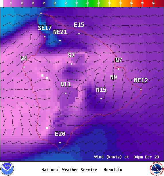
Image: NOAA
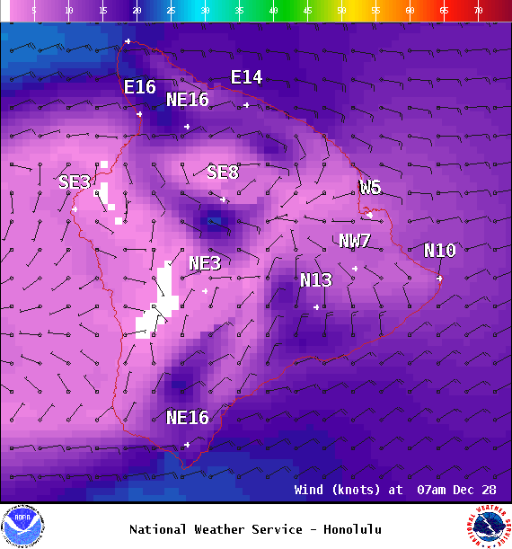
Image: NOAA
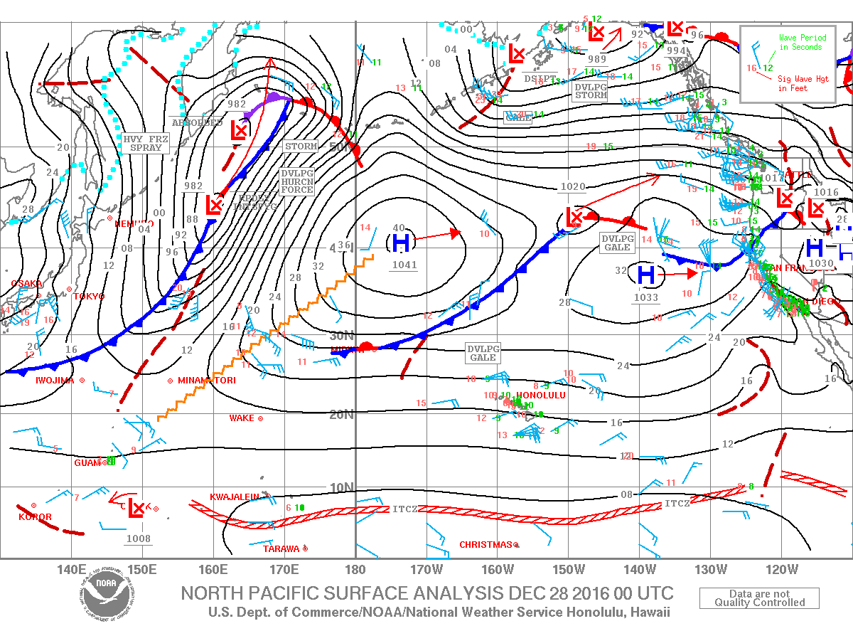
Image: NOAA
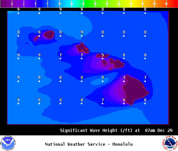
Image: NOAA
Sponsored Content


