

Flash Flood Watch, High Surf Advisory in Effect
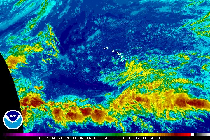
NWS/NOAA satellite image on Wednesday, Nov. 30. 2016, 3:30 p.m.
The National Weather Service in Honolulu has issued a Flash Flood Watch and High Surf Advisory for the Big Island at 3:59 p.m. HST, on Wednesday, Nov. 30, 2016.
The advisories are in effect from Thursday afternoon through Friday afternoon.
The combination of an unstable atmosphere and increasing moisture will lead to potentially widespread heavy rain.
A Flash Flood Watch means that conditions may develop that lead to flash flooding. Flash flooding is very dangerous.
Monitor forecasts and be prepared to take action should flash flood warnings be issued.
The High Surf Advisory is in effect until 6 p.m. HST Friday. Expect 6 to 10 foot surf along east-facing shores.
Expect strong breaking waves, shore break and strong longshore and rip currents, making swimming
difficult and dangerous.
Beachgoers, swimmers and surfers should heed all advice given by ocean safety officials and exercise caution.
Know your limits and seek ocean recreation areas best suited for your abilities.
When in doubt… do not go out.
Sponsored Content


