

Sunshine & Trade Winds Expected Today

Image: James Grenz
Alerts (as of 1:00 a.m.)
A Small Craft Advisory is posted for all island waters through 6 p.m. Friday.
A High Surf Advisory is posted for north shores of the Big Island through 6 p.m. Thursday.
**Click directly on the images below to make them larger. Charts include: Big Island high/low forecasted temperatures, projected winds, chance of cloud cover, projected localized weather conditions, vog/SO2 forecast and expected wave heights.**
Looking Ahead
Stable weather with locally breezy winds are expected into this weekend with only slight changes in wind speed and moisture levels. Clouds and showers will be limited and focused over the windward and mauka areas. A weak front could approach the state from the north on Monday.
Today
Partly sunny with scattered windward showers in the morning. Hazy skies for the Kona side with clear skies in the morning and isolated showers in the afternoon. High temperatures from 82° to 87°. Winds will be out of the northeast around 15 to 20 mph.
UV index at 8 (“very high” exposure level)
Tonight
Winds will be northeast around 10 to 20 mph. Mostly cloudy with scattered windward showers. Kona side should be clearing as the night goes on. Low temperatures from 70° to 75°.
Our Big Island Now Weather homepage always includes daily: Sunrise | Sunset | Moonrise | Moonset | Moon Phase | Live Weather Cams | 5-day Forecast | Current Temperature & Conditions
**Click here for your detailed Big Island surf report.**

Image: NOAA

Image: NOAA
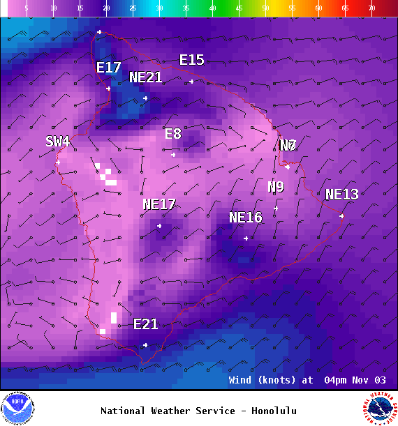
Image: NOAA
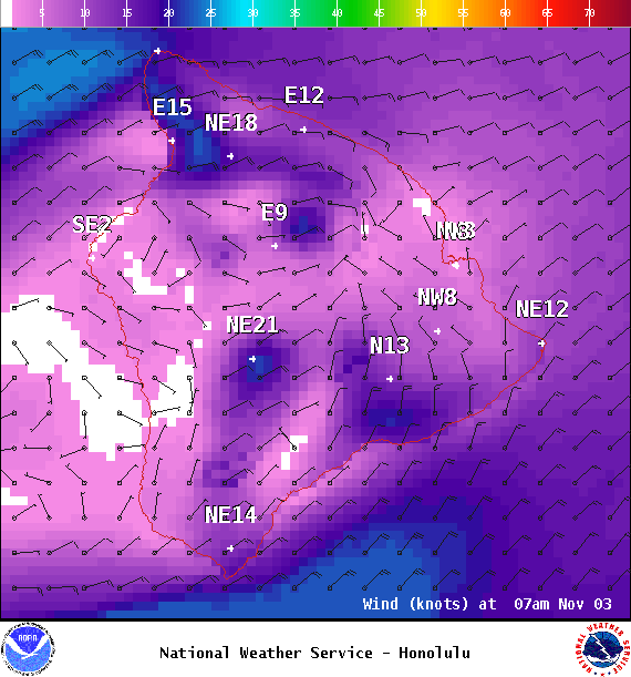
Image: NOAA

Image: NOAA

Image: NOAA
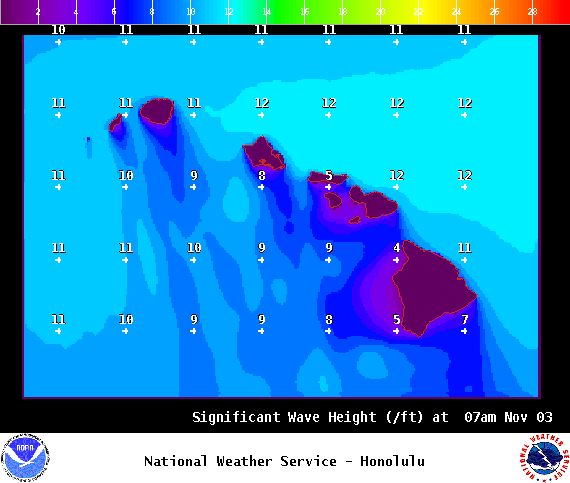
Image: NOAA
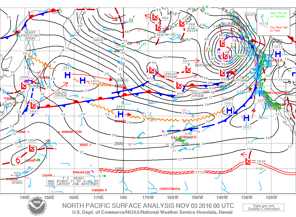
Image: NOAA
Sponsored Content


