

Today’s Weather Forecast

Image: James Grenz
Alerts (as of 1:00 a.m.)
A Small Craft Advisory is posted for our usual windy coastal channels and waters through Tuesday at 6 a.m.
A Wind Advisory is posted for the summits of Mauna Kea and Mauna Loa until 6 a.m. Monday for winds gusting up to 60 mph.
**Click directly on the images below to make them larger. Charts include: Big Island high/low forecasted temperatures, projected winds, chance of cloud cover, projected localized weather conditions, vog/SO2 forecast and expected wave heights.**
Looking Ahead
During the second half of the week, a front is forecast to approach from the northwest. A disturbance forming northeast of the islands on Friday will help push the front through the islands next weekend. Windy and cooler conditions are forecast after the front moves through.
Today
Partly cloudy with scattered showers for windward and mauka areas. Hazy skies for the Kona side. Sunny in the morning with isolated showers and building clouds in the afternoon. High temperatures from 83° to 88°. Winds will be northeast from 15 to 20 mph.
UV index at 9 (“very high” exposure level)
Tonight
Winds will be northeast around 15 to 20 mph. Mostly cloudy with frequent windward showers. Kona side should be mostly clear. Low temperatures from 70° to 75°.
Our Big Island Now Weather homepage always includes daily: Sunrise | Sunset | Moonrise | Moonset | Moon Phase | Live Weather Cams | 5-day Forecast | Current Temperature & Conditions
**Click here for your detailed Big Island surf report.**

Image: NOAA

Image: NOAA

Image: NOAA

Image: NOAA
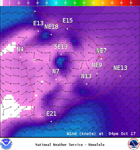
Image: NOAA
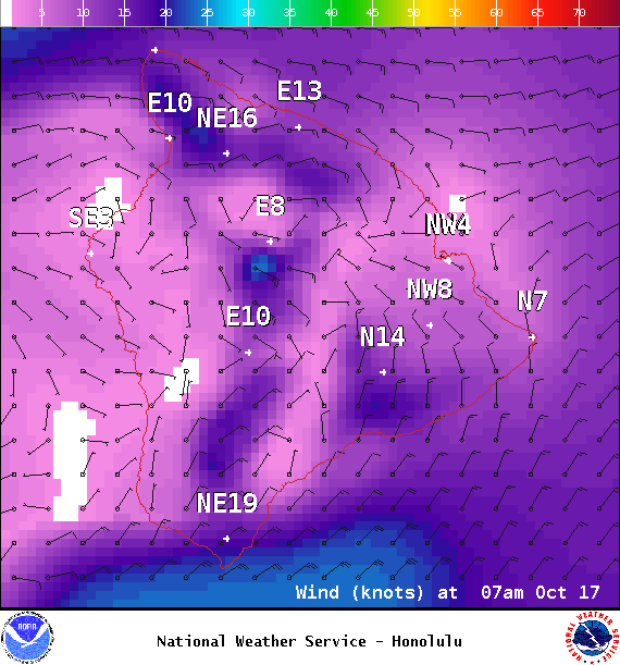
Image: NOAA
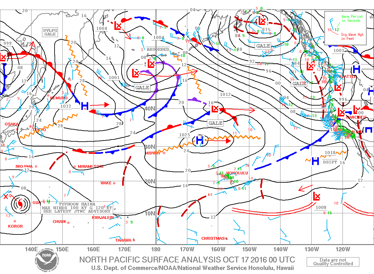
Image: NOAA
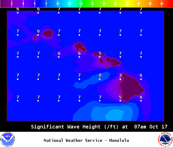
Image: NOAA
Sponsored Content


