

UPDATE: Flash Flood Warning in Effect for Big Island
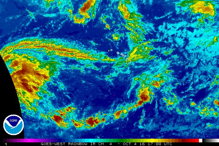
Oct. 4, 2 p.m., 2016. NOAA/NWS image.
Oct. 4, 2016, 7 a.m.
UPDATE: Oct. 4, 3:11 p.m.
The National Weather Service in Honolulu has issued a Flash Flood Warning for Hawai‘i County until 6:15 p.m.
At 3:08 p.m., radar indicated a thunderstorm producing heavy rain near Waiki‘i, about 9 miles south of Kamuela.
The storm is nearly stationary. Rain was falling at a rate of 3 inches per hour. Flash flooding is expected to begin shortly.
Locations in the warning include but are not limited to Waikoloa Village, Kamuela, Puuanahulu, Pohakuloa Training Area, Pohakuloa Camp, Waipio Valley and Waiki‘i.
A Flash Flood Warning means that flooding is imminent or occurring in streams, roads and low-lying areas. Move to higher ground now.
Do not cross fast flowing water in your vehicle or on foot. Turn around… Don/T drown.
This warning may need to be extended beyond 6:15 p.m. if heavy rain
persists.
This Flash Flood Warning replaces the previously issued Flood Advisory that was in effect for portions of the island of Hawai‘i.
UPDATE: Oct. 4, 2:26 p.m.
The National Weather Service in Honolulu has issued a Flood Advisory for Hawai‘i County until 5:30 p.m.
At 2:23 p.m., radar indicated heavy rain near Waikii or about 9 miles south of Kamuela.
Rain was falling at a rate of 2 to 3 inches per hour.
Locations in the advisory include but are not limited to Kamuela, Pu‘uanahulu, Pohakuloa Training Area, Pohakuloa Camp, Waipio Valley., Waimanu Valley and Waiki‘i.
Stay away from streams, drainage ditches and low -ying areas prone to flooding.
Rainfall and runoff will also cause hazardous driving conditions due to ponding, reduced visibility and poor braking action.
Do not cross fast flowing or rising water in your vehicle or on
foot. Turn around… don’t drown.
This advisory may need to be extended beyond 5:30 p.m. if heavy rain
persists.
A Flash Flood Watch is also in effect for the Big Island until 6 p.m. Wednesday, Oct. 6.
ORIGINAL POST: Oct. 4, 7:59 a.m.
The National Weather Service issued a Flash Flood Watch for the Big Island at 3:23 a.m., Oct. 4.
The Flash Flood Watch is in effect through Wednesday afternoon.
The combination of abundant moisture and an upper-level disturbance could trigger heavy rains and thunderstorms through Wednesday.
A Flash Flood Watch means that conditions may develop that lead to flash flooding. Flash flooding is very dangerous.
You should monitor later forecasts and be prepared to take action should flash flood warnings be issued.
Sponsored Content


