

Trade Swell Increases Today, SW Shifts SSW

Image: James Grenz
Alerts (as of 1:00 a.m.)
A Small Craft Advisory is posted for the Pailolo and ʻAlenuihāhā channels as well as Māʻalaea Bay through 6 p.m. Wednesday.
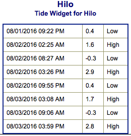
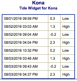
**Click directly on the images below to make them larger. Charts include: Big Island projected winds, tides, swell direction & period and expected wave heights.**
 Big Island Surf Forecast
Hilo side: Wave heights for spots exposed to the trade swell are expected to be waist/chest high today with the best breaks getting up to shoulder/head high.
Kona side: Wave heights are expected to be knee/thigh high today with the best breaks a bit bigger on the sets. Spots that aren’t as exposed could be flat.
South: Wave heights are expected to be under waist high high today, some spots could even be flat. Spots catching trade swell could get up to shoulder/head high.
 Our current small southwest swell shifts a bit more south-southwest and lingers into the next few days. Just small pulses of southerly energy for the Hawaiian Islands through mid-month.
Trade swell will increase over the next couple of days. Nothing major expected out of the North or East Pacific through the first week of August. Tropical Storm Howard has potential to generate swell. Will keep an eye on it.
Keep in mind, surf heights are measured on the face of the wave from trough to crest. Heights vary from beach to beach, and at the same beach, from break to break.
**Click here for your detailed Big Island weather report.**
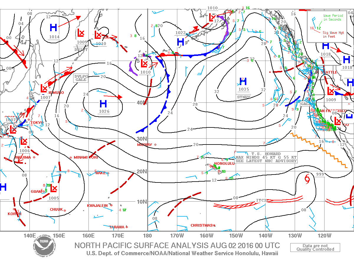
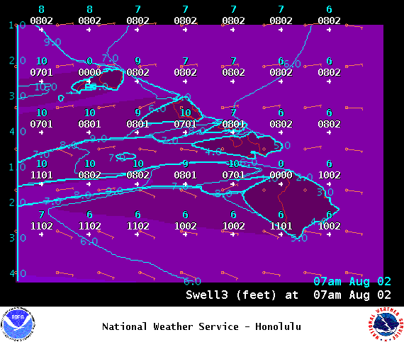
Image: NOAA
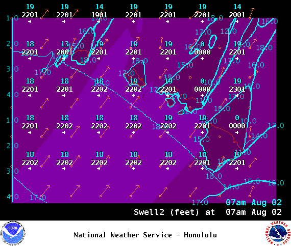
Image: NOAA
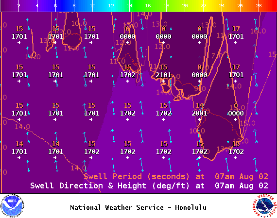
Image: NOAA
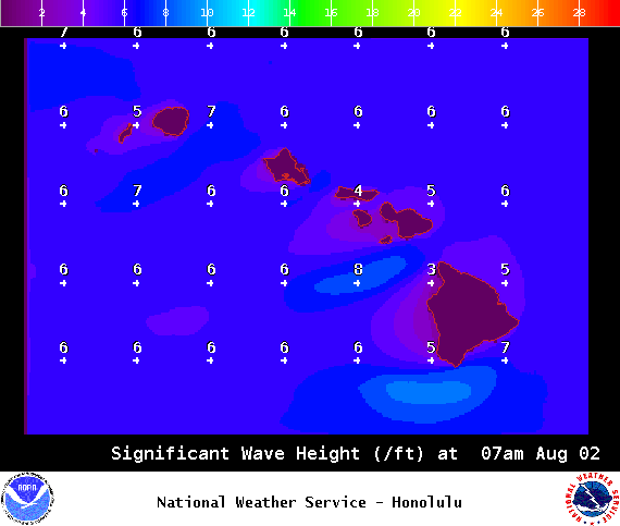
Image: NOAA
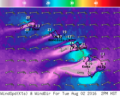
Image: NOAA
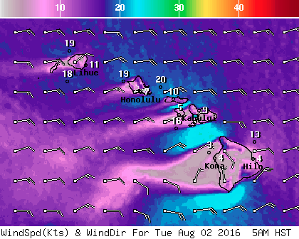
Image: NOAA
Sponsored Content


