

Increased Showers from Blas Begin Tonight

Image: James Grenz
Alerts (as of 1:00 a.m.)
There are no weather alerts posted at this time.
**Click directly on the images below to make them larger. Charts include: Big Island high/low forecasted temperatures, projected winds, chance of cloud cover, projected localized weather conditions, vog/SO2 forecast and expected wave heights.**
Looking Ahead
Light to moderate trade winds are expected through Thursday night. Low clouds and passing showers will affect mainly windward and mauka areas, with the windward Big Island being drier than normal through early Thursday. Moisture from the remnants of former Hurricane Blas will bring an increase in showers across most islands from late Thursday through Friday. Trade winds will increase again Friday and Saturday.
Today
Partly to mostly cloudy skies with scattered showers in the afternoon. High temperatures from 85° to 90°. Winds will be variable up to 15 mph.
UV index at 12 (“extreme” exposure level)
Tonight
Northeast winds tonight up to 15 mph. Mostly cloudy with scattered showers this evening. Low temperatures from 70° to 76°.
Our Big Island Now Weather homepage always includes daily: Sunrise | Sunset | Moonrise | Moonset | Moon Phase | Live Weather Cams | 5-day Forecast | Current Temperature & Conditions
**Click here for your detailed Big Island surf report.**

Image: NOAA

Image: NOAA

Image: NOAA

Image: NOAA
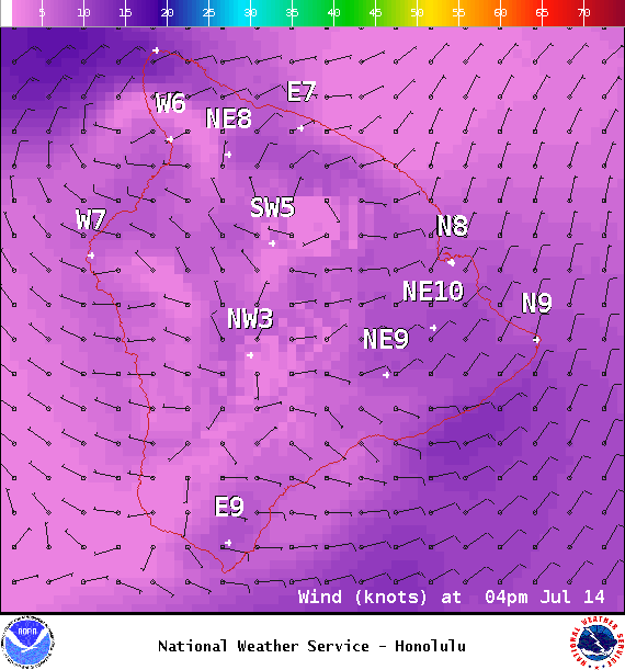
Image: NOAA
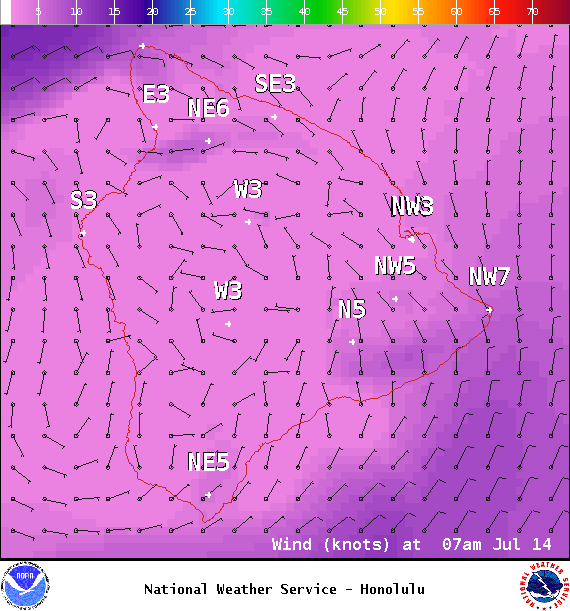
Image: NOAA
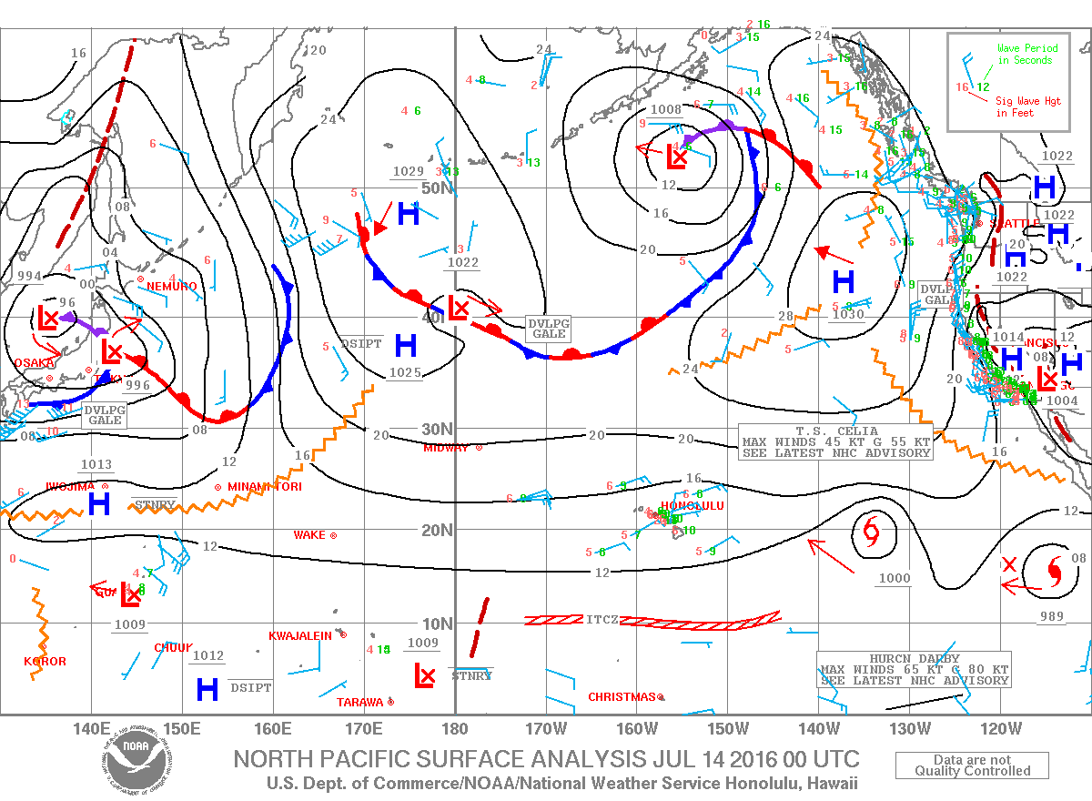
Image: NOAA
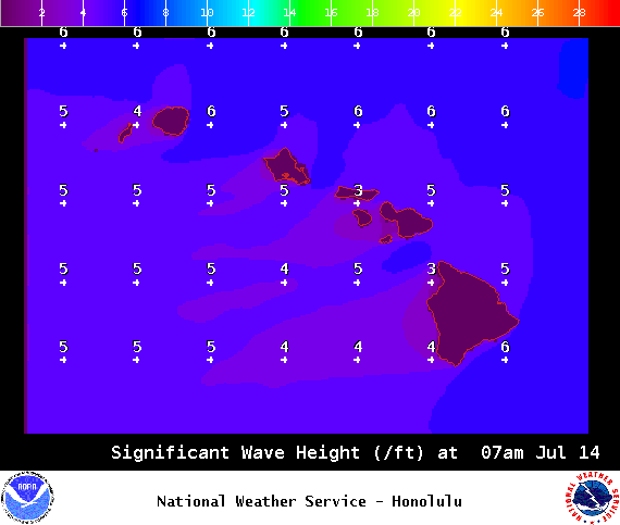
Image: NOAA
Sponsored Content


