

Lots of Sunshine Today, Trade Winds Blowing

Image: James Grenz
Alerts (as of 1:00 a.m.)
A High Surf Advisory is in effect for the south shores of all islands through 6 a.m. Sunday.
A Small Craft Advisory is in effect through 6 p.m. Friday for all Big Island coastal waters (except windward waters).
**Click directly on the images below to make them larger. Charts include: Big Island high/low forecasted temperatures, projected winds, chance of cloud cover, projected localized weather conditions, vog/SO2 forecast and expected wave heights.**
Looking Ahead
Moderate to breezy trade winds are expected into Saturday, with light to moderate trade winds from Sunday into next week. The trade winds will bring clouds and showers to windward areas. A few showers will pass leeward on the smaller islands, with the leeward Big Island slopes seeing afternoon and evening clouds and a few showers. Hurricane Blas, still far to the east of the islands, is expected to weaken significantly the next couple of days.
Today
Partly sunny skies with scattered morning showers for windward spots. Breezy conditions with northeast winds expected from 10 to 20 mph. Areas of haze are forecast for the Kona side with mostly sunny morning conditions and partly cloudy afternoon skies and scattered showers. High temperatures from 83° to 88°.
UV index at 13 (“extreme” exposure level)
Tonight
Northeast winds tonight from 10 to 20 mph. Mostly cloudy with scattered windward showers tonight. Clearing skies for the leeward side. Low temperatures from 72° to 77°.
Our Big Island Now Weather homepage always includes daily: Sunrise | Sunset | Moonrise | Moonset | Moon Phase | Live Weather Cams | 5-day Forecast | Current Temperature & Conditions
**Click here for your detailed Big Island surf report.**

Image: NOAA

Image: NOAA
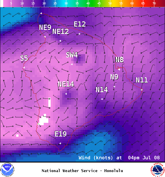
Image: NOAA
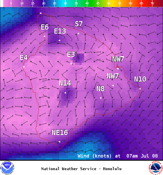
Image: NOAA

Image: NOAA

Image: NOAA
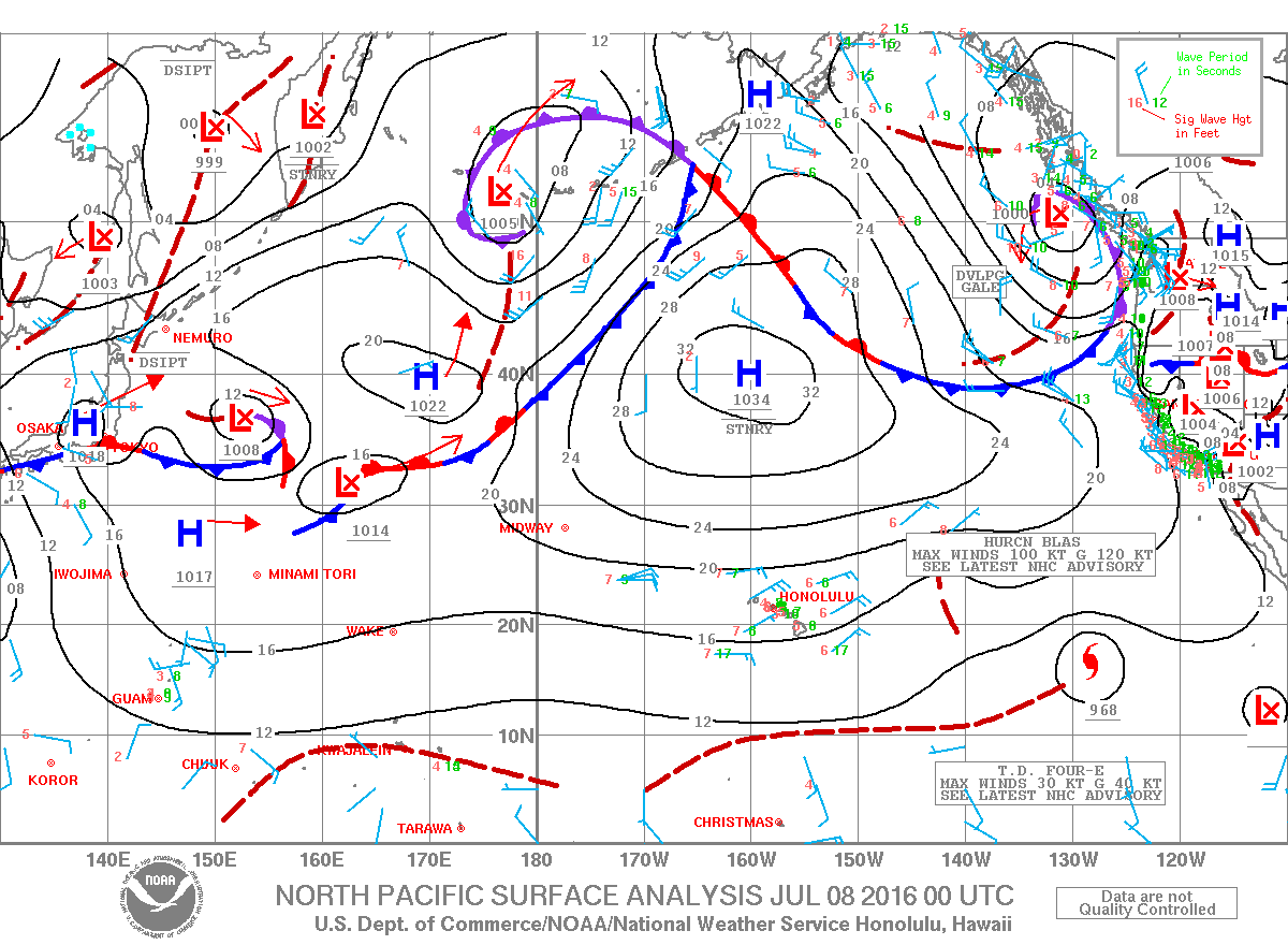
Image: NOAA
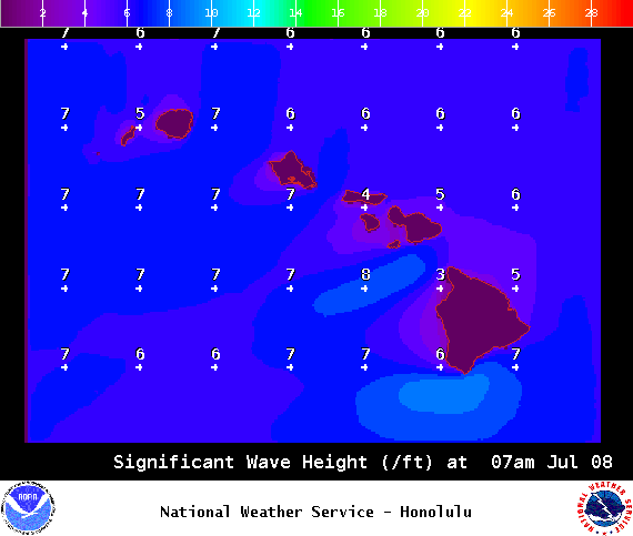
Image: NOAA
Sponsored Content


