

Heavy Showers Possible This Afternoon for Kona

Image: James Grenz
Alerts (as of 1:00 a.m.)
There are no weather alerts posted at this time.
**Click directly on the images below to make them larger. Charts include: Big Island high/low forecasted temperatures, projected winds, chance of cloud cover, projected localized weather conditions, vog/SO2 forecast and expected wave heights.**
Looking Ahead
Trade winds are expected to become gusty later in the week. Breezy conditions should then last through the much of the holiday weekend. A disturbance will bring instability that may lead to an increase in trade wind showers, some which may be briefly heavy. As the disturbance moves away, a dry and stable air mass will move over the islands from Thursday into Saturday. Trade wind showers may increase again statewide on Sunday and Monday.
Today
Partly to mostly cloudy with scattered showers today for windward spots. Mostly sunny skies in the morning for the Kona side with mostly cloudy skies in the afternoon and scattered showers. Some Kona showers may be heavy in the afternoon. Winds are around 10 to 20 mph out of the northeast with afternoon sea breeze for the Kona side. High temperatures from 83° to 88°.
UV index at 12 (“extreme” exposure level)
Tonight
Northeast winds tonight from 10 to 20 mph. Scattered showers for windward spots tonight. Skies should clear as the night goes on for lee areas. Low temperatures from 70° to 75°.
Our Big Island Now Weather homepage always includes daily: Sunrise | Sunset | Moonrise | Moonset | Moon Phase | Live Weather Cams | 5-day Forecast | Current Temperature & Conditions
**Click here for your detailed Big Island surf report.**

Image: NOAA / NWS

Image: NOAA / NWS

Image: NOAA / NWS

Image: NOAA / NWS
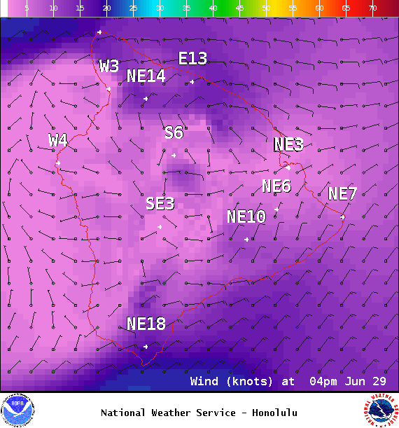
Image: NOAA / NWS
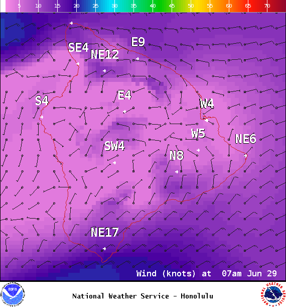
Image: NOAA / NWS
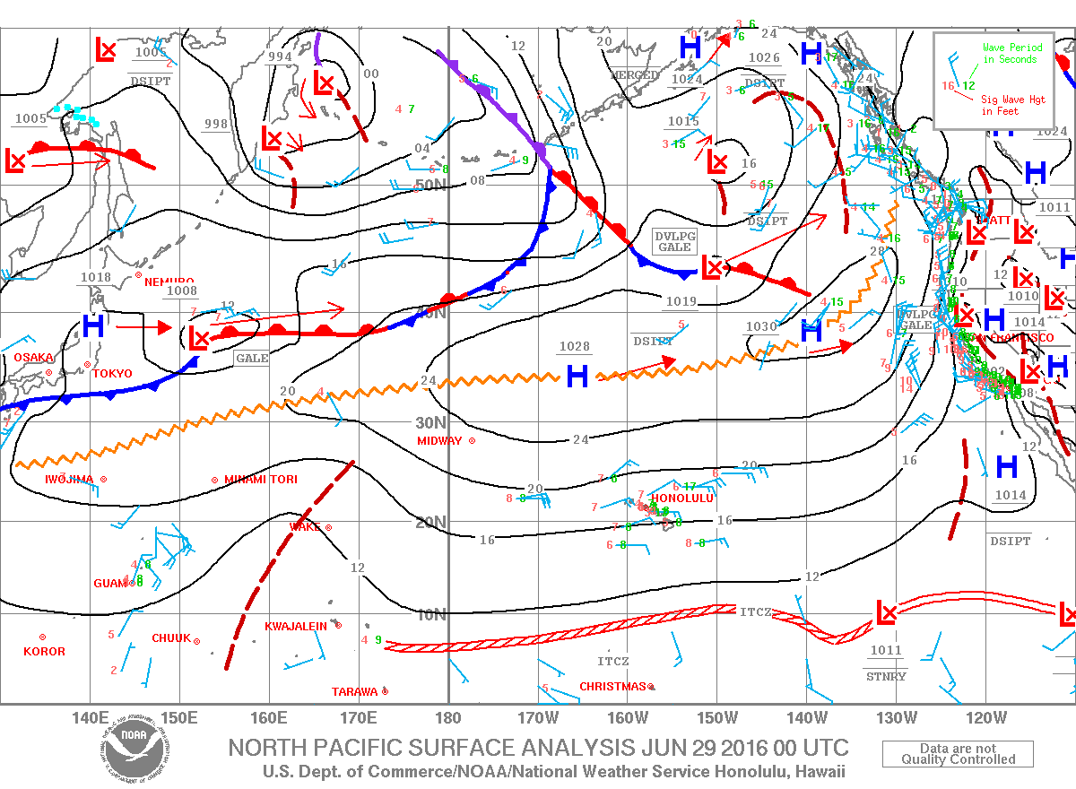
Image: NOAA / NWS
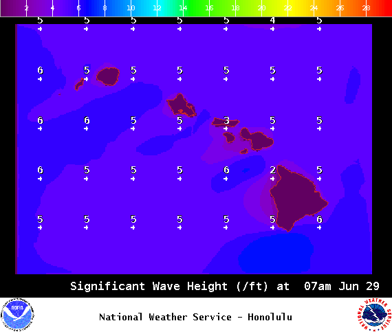
Image: NOAA / NWS
Sponsored Content


