

Northeast Winds Prevail Today

Image: James Grenz
Alerts (as of 1:00 a.m.)
A High Surf Advisory is posted through 6 a.m. Thursday for all south facing shores and could be extended past that if conditions persist.
A Small Craft Advisory is posted through 6 a.m. Friday for east winds increasing to 25 knots.
**Click directly on the images below to make them larger. Charts include: Big Island high/low forecasted temperatures, projected winds, chance of cloud cover, projected localized weather conditions, vog/SO2 forecast and expected wave heights.**
Looking Ahead
Cool trade winds are forecast through the weekend. Clouds and showers should focus mainly over windward and mauka areas. A shower or two could stray downwind into the leeward communities of the smaller islands. The Kona coast will have their usual afternoon and evening showers. The frequency of these showers will be highest during the nights and mornings.
Today
Mostly cloudy with scattered showers today for windward spots. Mostly sunny skies in the morning for the Kona side with mostly clouds skies in the afternoon and scattered showers. Winds are from 15 to 20 mph out of the northeast with afternoon sea breeze for the Kona side. High temperatures from 82° to 87°.
UV index at 12 (“extreme” exposure level)
Tonight
Northeast winds tonight from 10 to 15 mph. Numerous showers for windward spots tonight. Skies should clear as the night goes on for lee areas. Low temperatures from 69° to 74°.
Our Big Island Now Weather homepage always includes daily: Sunrise | Sunset | Moonrise | Moonset | Moon Phase | Live Weather Cams | 5-day Forecast | Current Temperature & Conditions
**Click here for your detailed Big Island surf report.**

Image: NOAA / NWS

Image: NOAA / NWS
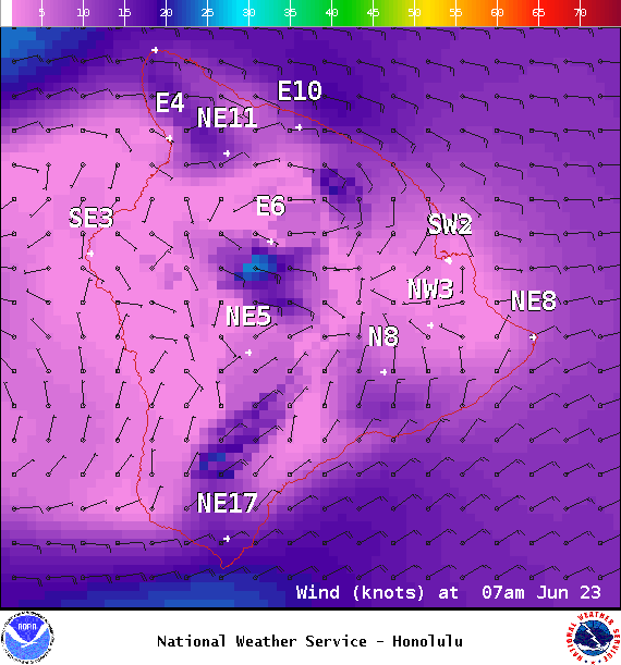
Image: NOAA / NWS
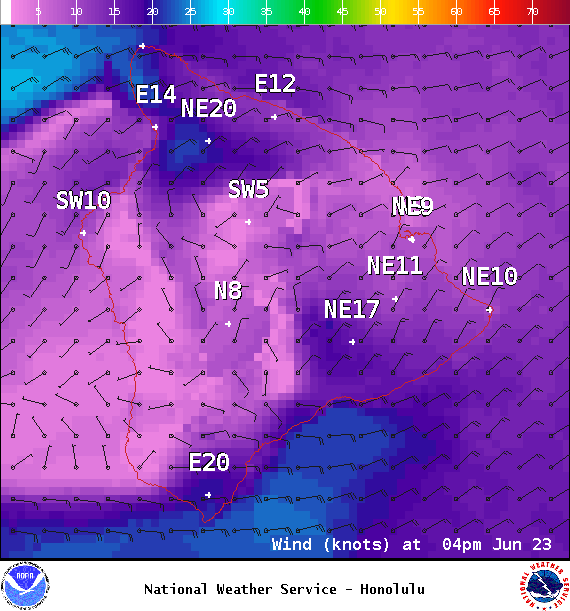
Image: NOAA / NWS

Image: NOAA / NWS

Image: NOAA / NWS
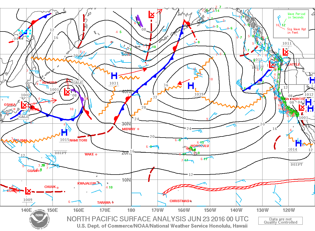
Image: NOAA / NWS
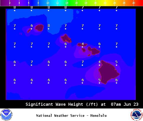
Image: NOAA / NWS
Sponsored Content


