

Next Significant Swell About a Week Out

Image: James Grenz
Alerts (as of 1:00 a.m.)
There are no weather alerts posted at this time.
**Click directly on the images below to make them larger. Charts include: Big Island projected winds, tides, swell direction & period and expected wave heights.**
 Big Island Surf Forecast
Hilo side: Wave heights for spots exposed to the swell are expected to be ankle/waist high today and on an easing trend.
Kona side: Wave heights are expected to be flat up to ankle/thigh high.
South: Wave heights are expected to be flat up to ankle/thigh high, maybe waist high at the best breaks.
 Current blend of southerly swells continue to ease. Nothing significant is expected until about June 9th or so when a couple of overlapping swells are forecast.
Quiet in the North Pacific at this time with nothing of note generating swell energy for the foreseeable future.
Keep in mind, surf heights are measured on the face of the wave from trough to crest. Heights vary from beach to beach, and at the same beach, from break to break.
**Click here for your detailed Big Island weather report.**

Image: NOAA / NWS
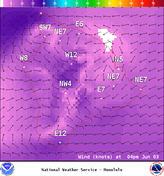
Image: NOAA / NWS
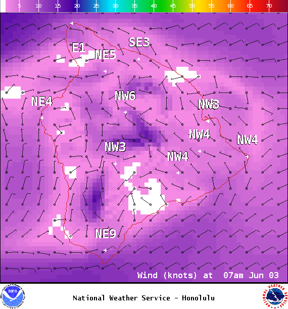
Image: NOAA / NWS

Image: NOAA / NWS

Image: NOAA / NWS

Image: NOAA / NWS

Image: NOAA / NWS
Sponsored Content


