New Swells Expected for Big Island Soon
Alerts (as of 1:00 a.m.)
A Small Craft Advisory is posted through 6 p.m. Monday for the ʻAlenuihāhā channel as well as coastal waters to the south and west.
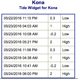
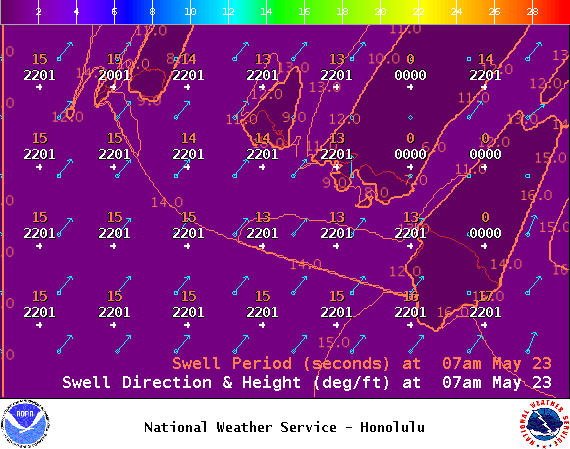
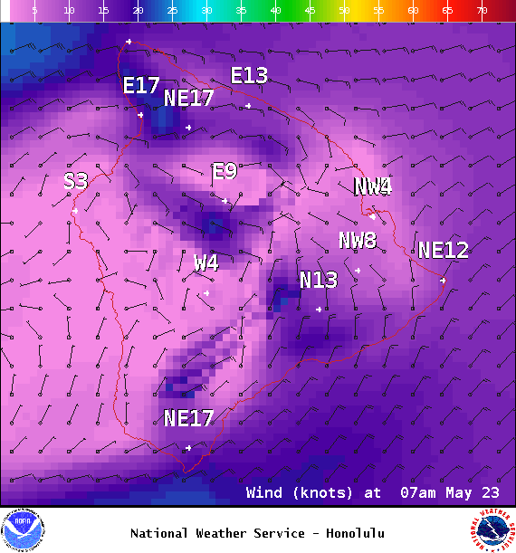
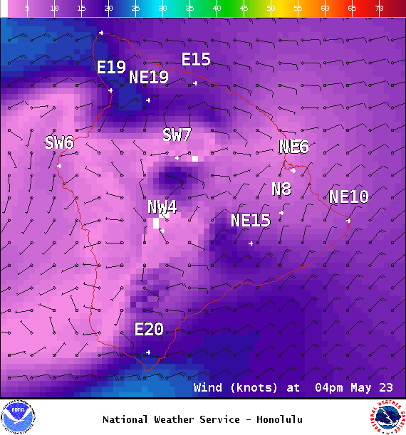
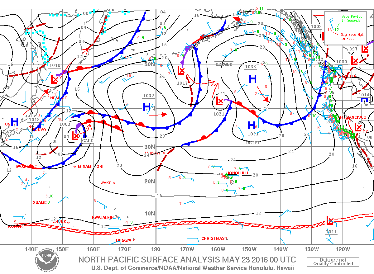
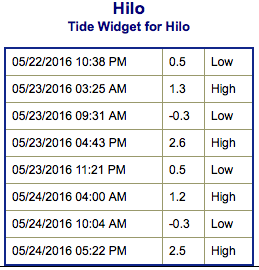
**Click directly on the images below to make them larger. Charts include: Big Island projected winds, tides, swell direction & period and expected wave heights.**
Hilo side: Wave heights for spots exposed to the swell are expected to be waist/shoulder high today. Spots without direct exposure to the swell will be smaller.
Kona side: Wave heights are expected to be knee/thigh high today.
South: Wave heights are expected to be ankle/knee high today with Kona standout spots up to waist high. Spots around South Point could be up to shoulder high.
 Our current southwest is down to leftovers. A fun swell is expected for the second half of the work week. Wave heights from waist to shoulder high are expected with some head high+ waves at standouts.
A storm is possible in the northwest Pacific so this could mean some swell energy filling in around the 29th. The Big Island’s Kona side will likely be heavily shadowed. Trade swell will continue to affect northeastern exposures but onshore winds mean messy conditions.
Keep in mind, surf heights are measured on the face of the wave from trough to crest. Heights vary from beach to beach, and at the same beach, from break to break.
**Click here for your detailed Big Island weather report.**
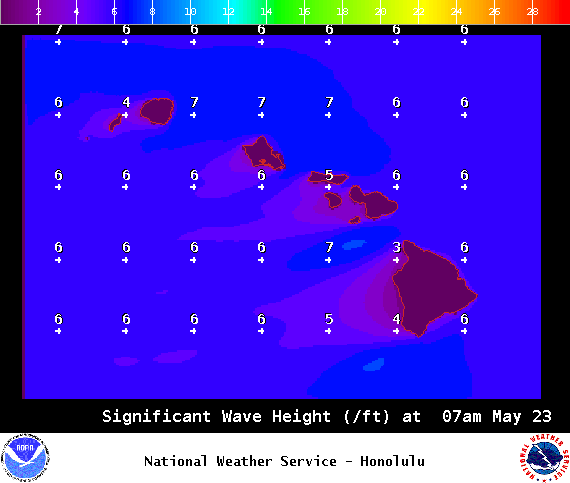
Image: NOAA / NWS


