

SW Swell Fills in Today

Image: James Grenz
Alerts (as of 1:00 a.m.)
A Small Craft Advisory is posted through 6 a.m. Thursday for all island waters.
**Click directly on the images below to make them larger. Charts include: Big Island projected winds, tides, swell direction & period and expected wave heights.**
 Big Island Surf Forecast
Hilo side: Wave heights for spots exposed to the swell are expected to be shoulder/head high today. Spots without direct exposure to the swell will be smaller.
Kona side: Wave heights are expected to be knee/thigh high today.
South: Wave heights are expected to be waist high or less today. Spots around South Point could be belly/chest high.
Small southerly swell is still showing. A southwest is filling in and holding through the work week. We may get a fun swell for next week. Will keep an eye on it.
 Storm activity isn’t expected and therefore there are no notable swells on the horizon out of the NPAC. Trade swell will show for northeastern exposures up to about shoulder high.
Keep in mind, surf heights are measured on the face of the wave from trough to crest. Heights vary from beach to beach, and at the same beach, from break to break.
**Click here for your detailed Big Island weather report.**
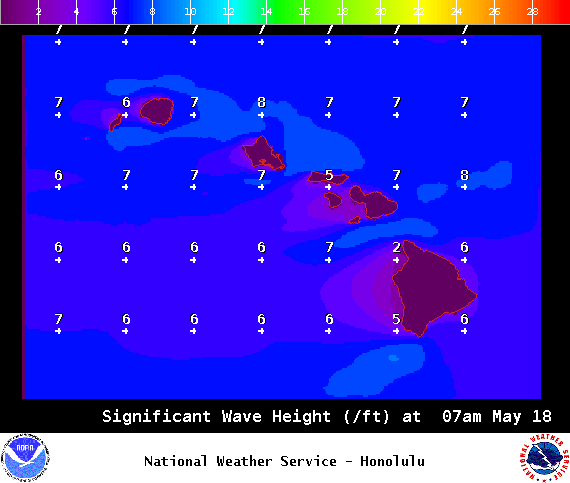
Image: NOAA / NWS

Image: NOAA / NWS

Image: NOAA / NWS

Image: NOAA / NWS
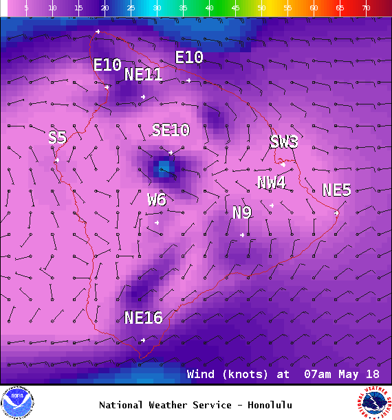
Image: NOAA / NWS
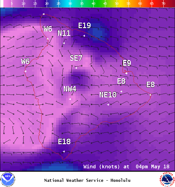
Image: NOAA / NWS
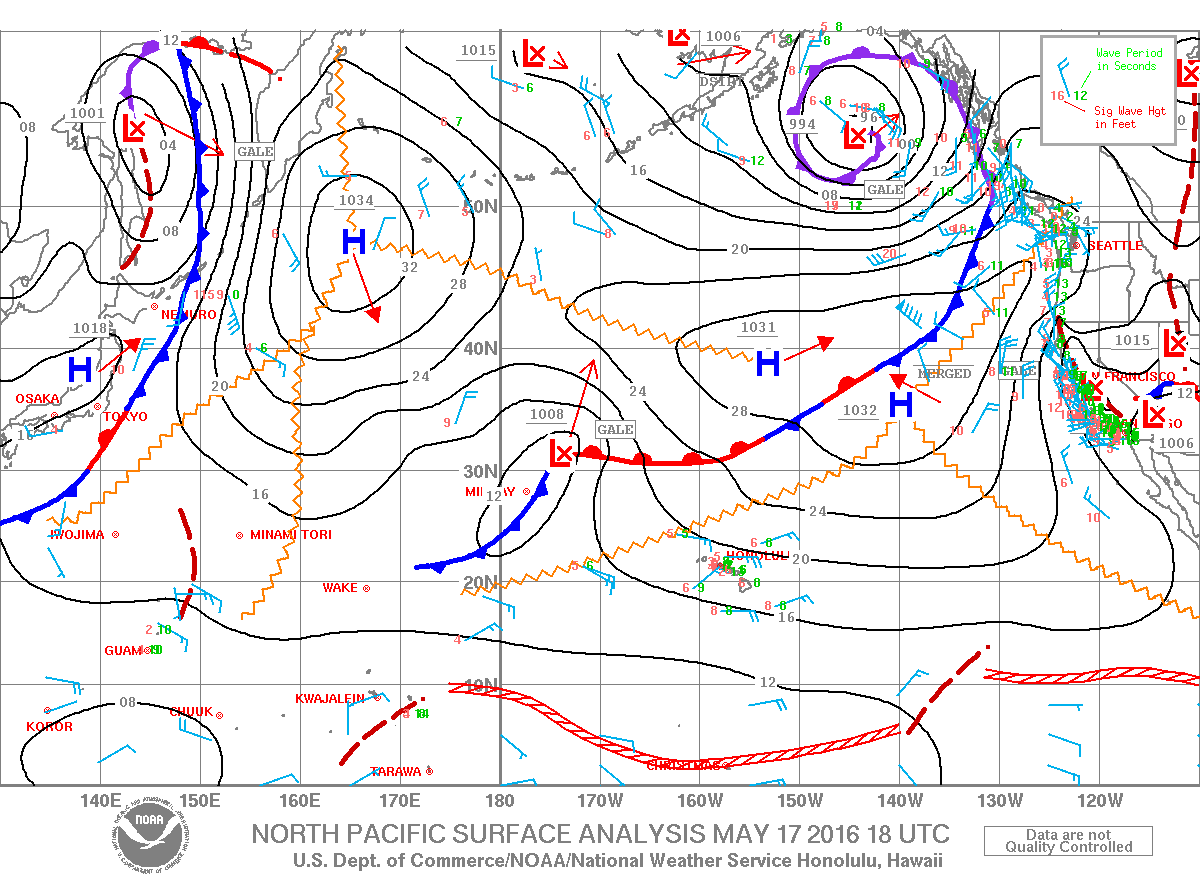
Image: NOAA / NWS
Sponsored Content


