

Trade Winds Continue, Weaken for Weekend

Image: James Grenz
Alerts (as of 1:00 a.m.)
A Small Craft Advisory is posted for the ʻAlenuihāhā channel and leeward waters through 6 p.m. Tuesday.
**Click directly on the images below to make them larger. Charts include: Big Island high/low forecasted temperatures, projected winds, chance of cloud cover, projected localized weather conditions, vog/SO2 forecast and expected wave heights.**
Looking Ahead
Trade winds are expected for the rest of the week and into the weekend. Trades will be moderate to breezy but becoming slightly weaker as the weekend approaches. Clouds and showers should favor windward and mauka areas while a few showers may spill over to the leeward sides of the smaller islands, while the Kona side of the Big Island can expect a late afternoon and evening showers.
Today
We expect partly cloudy skies with scattered windward showers in the morning. The Kona side will be mostly sunny with isolated showers in the afternoon as clouds build. Hazy areas are expected. East winds are forecast from 15 to 20 mph. High temperatures from 79° to 84°.
UV index at 12 (“extreme” exposure level)
Tonight
East winds are expected around 15 – 20 mph. Mostly cloudy skies are forecast with scattered to numerous windward showers. For the Kona side mostly cloudy to start with clearing skies as the night goes on. Low temperatures from 67° to 72°.
Our Big Island Now Weather homepage always includes daily: Sunrise | Sunset | Moonrise | Moonset | Moon Phase | Live Weather Cams | 5-day Forecast | Current Temperature & Conditions
**Click here for your detailed Big Island surf report.**
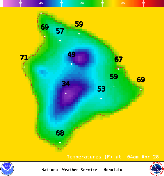
Image: NOAA / NWS
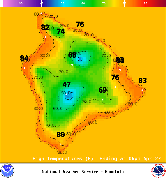
Image: NOAA / NWS
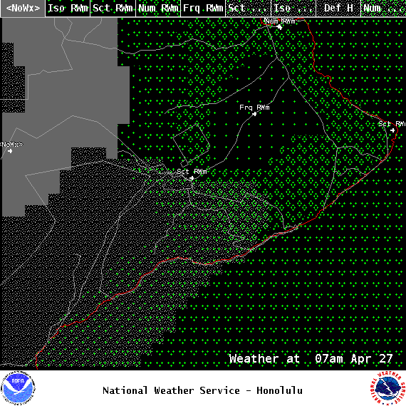
Image: NOAA / NWS
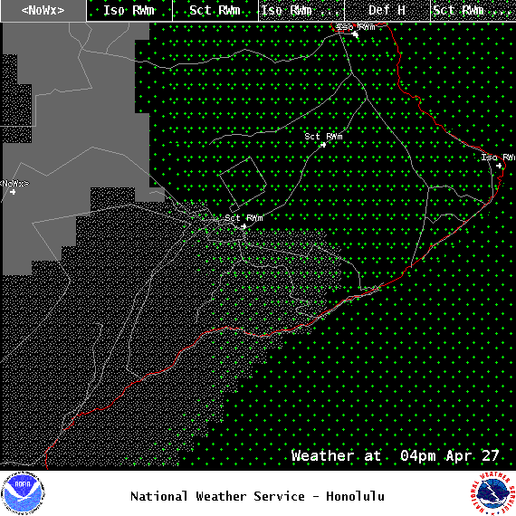
Image: NOAA / NWS
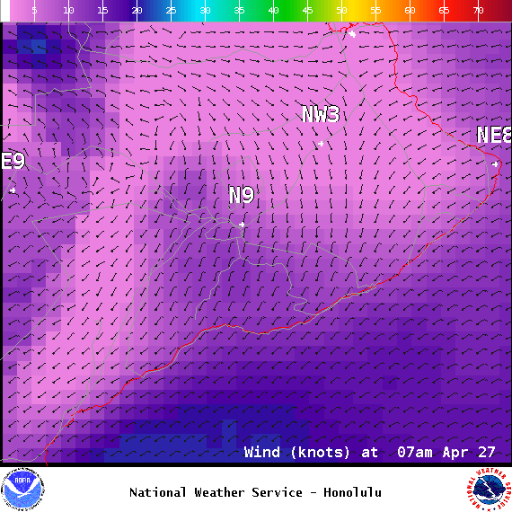
Image: NOAA / NWS
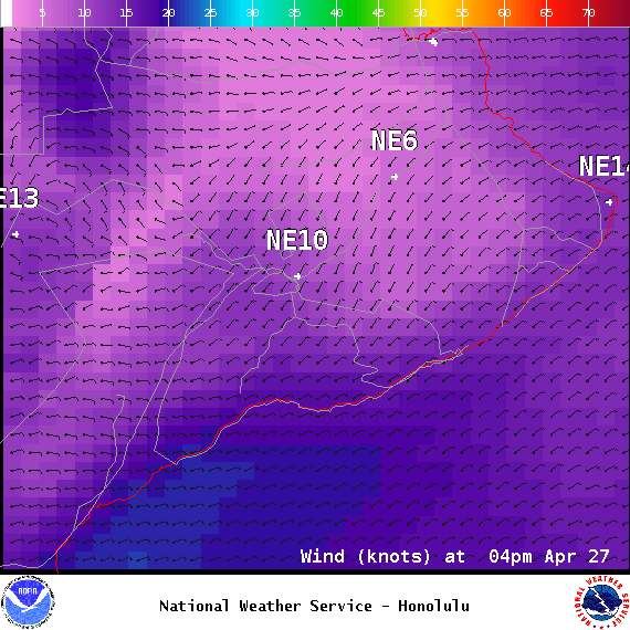
Image: NOAA / NWS
Image: NOAA / NWS

Image: NOAA / NWS
Sponsored Content


