WNW Peaks Tonight for Big Island
Alerts (as of 1:00 a.m.)
A Small Craft Advisory is posted for the ʻAlenuihāhā channel through 6 p.m. Thursday and could be extended if conditions persist.
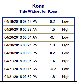
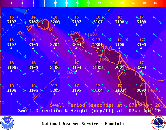
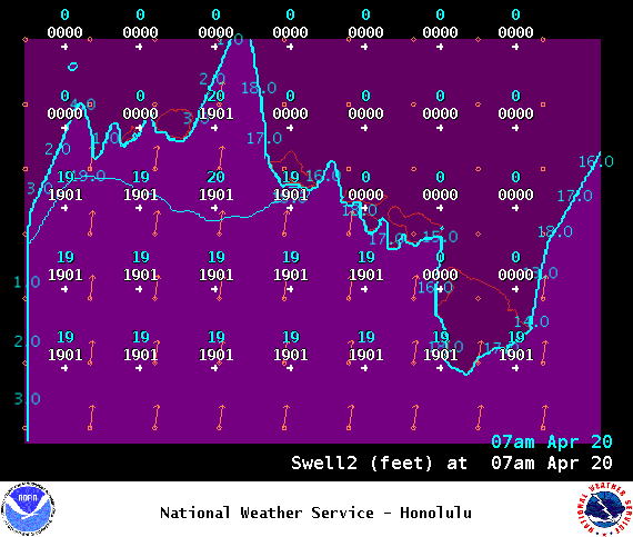
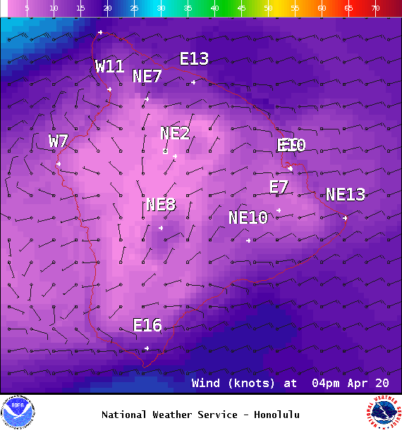
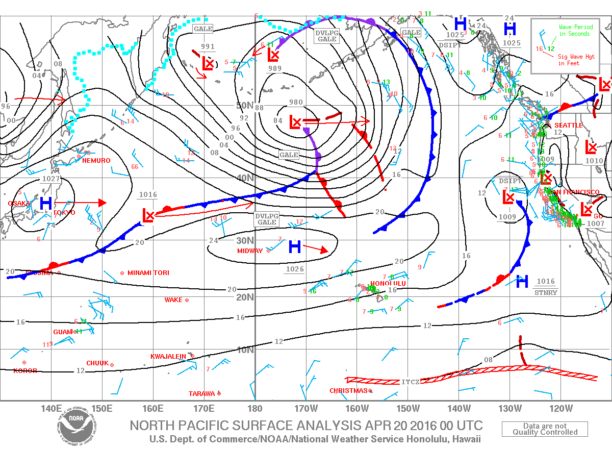
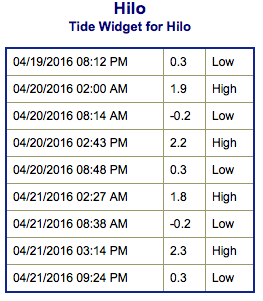
**Click directly on the images below to make them larger. Charts include: Big Island projected winds, tides, swell direction & period and expected wave heights.**
Hilo side: Wave heights for spots exposed to the swell are expected to be shoulder/head high today. Spots without direct exposure to the swell will be smaller.
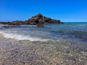
Kona side: Wave heights are expected to be knee/waist high today. The best breaks could get up to chest high from time to time. By the afternoon we’re looking at shoulder/head high waves.
South: Wave heights are expected to be knee/waist high today. Spots with exposure to the west-northwest swell will be bigger.
 Our current west-northwest swell is expected to build later today, peaking Wednesday night at shoulder high or more. The swell is expected to slowly fade Thursday and Friday.
Minimal southerly swells will trickle in through today. The next swell is expected to build in Thursday and peak Friday.
Keep in mind, surf heights are measured on the face of the wave from trough to crest. Heights vary from beach to beach, and at the same beach, from break to break.
**Click here for your detailed Big Island weather report.**
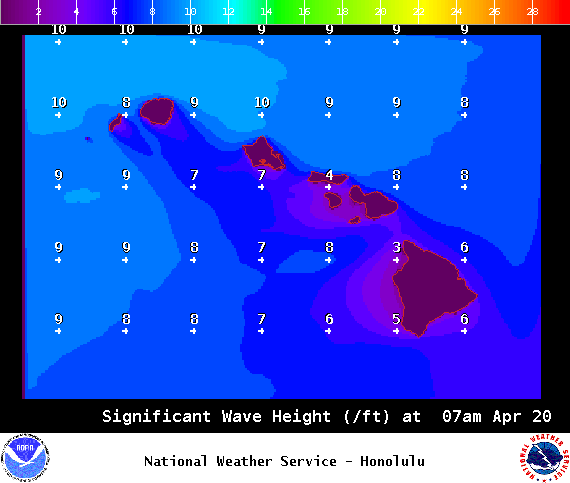
Image: NOAA / NWS


