

Typical Trade Wind Weather for Weekend

Image: James Grenz
Alerts (as of 1:00 a.m.)
There are no weather alerts posted at this time.
**Click directly on the images below to make them larger. Charts include: Big Island high/low forecasted temperatures, projected winds, chance of cloud cover, projected localized weather conditions, vog/SO2 forecast and expected wave heights.**
Looking Ahead
Trade winds are expected through next week, bringing clouds and a few brief showers to windward areas, with leeward areas remaining mostly dry. Light to moderate wind speeds are expected over the weekend but breezy conditions are expected for most of next week. A dissipating front near the Big Island will fuel enhanced windward showers on the Big Island through early Saturday before shifting south.
Today
Today we expect mostly cloudy in the morning with scattered showers for windward areas. The Kona side will be partly sunny to start with clouds building in the afternoon and isolated showers. Hazy skies are expected. Northeast winds are forecast from 15 to 20 mph. High temperatures from 79° to 84°.
UV index at 11 (“extreme” exposure level)
Tonight
Northeast winds are expected around 15 mph. Mostly cloudy skies are forecast with numerous showers in windward areas. For the Kona side mostly clear. Low temperatures from 67° to 72°.
Our Big Island Now Weather homepage always includes daily: Sunrise | Sunset | Moonrise | Moonset | Moon Phase | Live Weather Cams | 5-day Forecast | Current Temperature & Conditions
**Click here for your detailed Big Island surf report.**

Image: NOAA / NWS

Image: NOAA / NWS

Image: NOAA / NWS

Image: NOAA / NWS
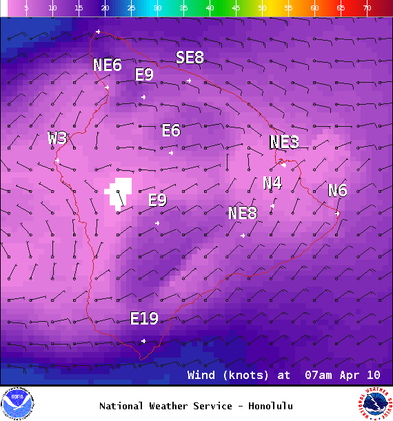
Image: NOAA / NWS
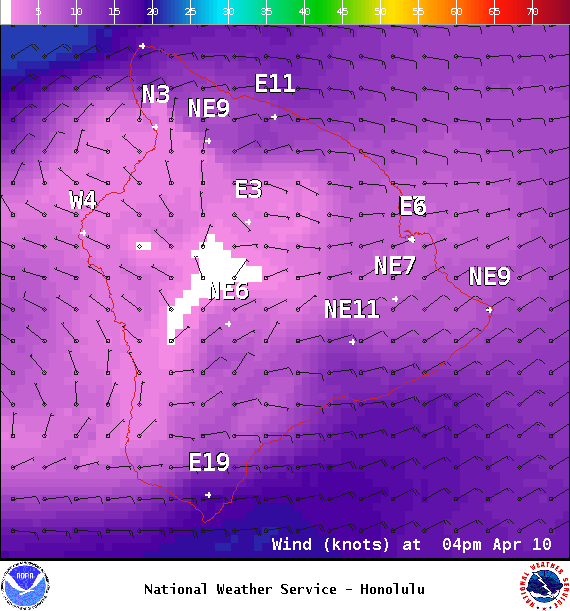
Image: NOAA / NWS
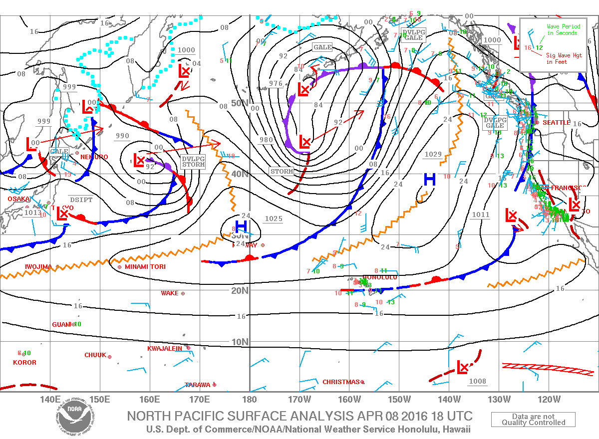
Image: NOAA / NWS
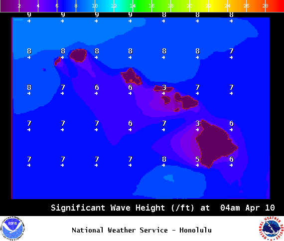
Image: NOAA / NWS
Sponsored Content


