

High Surf Warning For Kona Side Today

Image: James Grenz
Alerts (as of 1:00 a.m.)
A High Surf Warning is posted through 6 p.m. Thursday for the west side of the Big Island.
A Small Craft Advisory is in effect for the Alenuihaha channel and windward waters through 6 p.m. Thursday.
**Click directly on the images below to make them larger. Charts include: Big Island projected winds, tides, swell direction & period and expected wave heights.**
 Big Island Surf Forecast
Hilo side: Wave heights for spots exposed to the wrap are expected to be head high to overhead. We could see well overhead waves on the sets at the best breaks.
Kona side: Wave heights are expected to be waist / head high today. On the sets the best spots with west-northwestern exposure could see waves in the overhead range.
South: Some spots on the Kona side may get wrap out of the west-northwest up to waist/head high and standout spots will see overhead waves from time to time.
 The current warning level west-northwest swell is expected to top out early Thursday and slowly fade Thursday and Friday. Another northwest pulse is expected early next week.
There will also be a series of small, mainly background south swells through the week.
Easterly trade wind swells will remain rather low for the next several days.
Keep in mind, surf heights are measured on the face of the wave from trough to crest. Heights vary from beach to beach, and at the same beach, from break to break.
**Click here for your detailed Big Island weather report.**

Image: NOAA / NWS

Image: NOAA / NWS

Image: NOAA / NWS

Image: NOAA / NWS
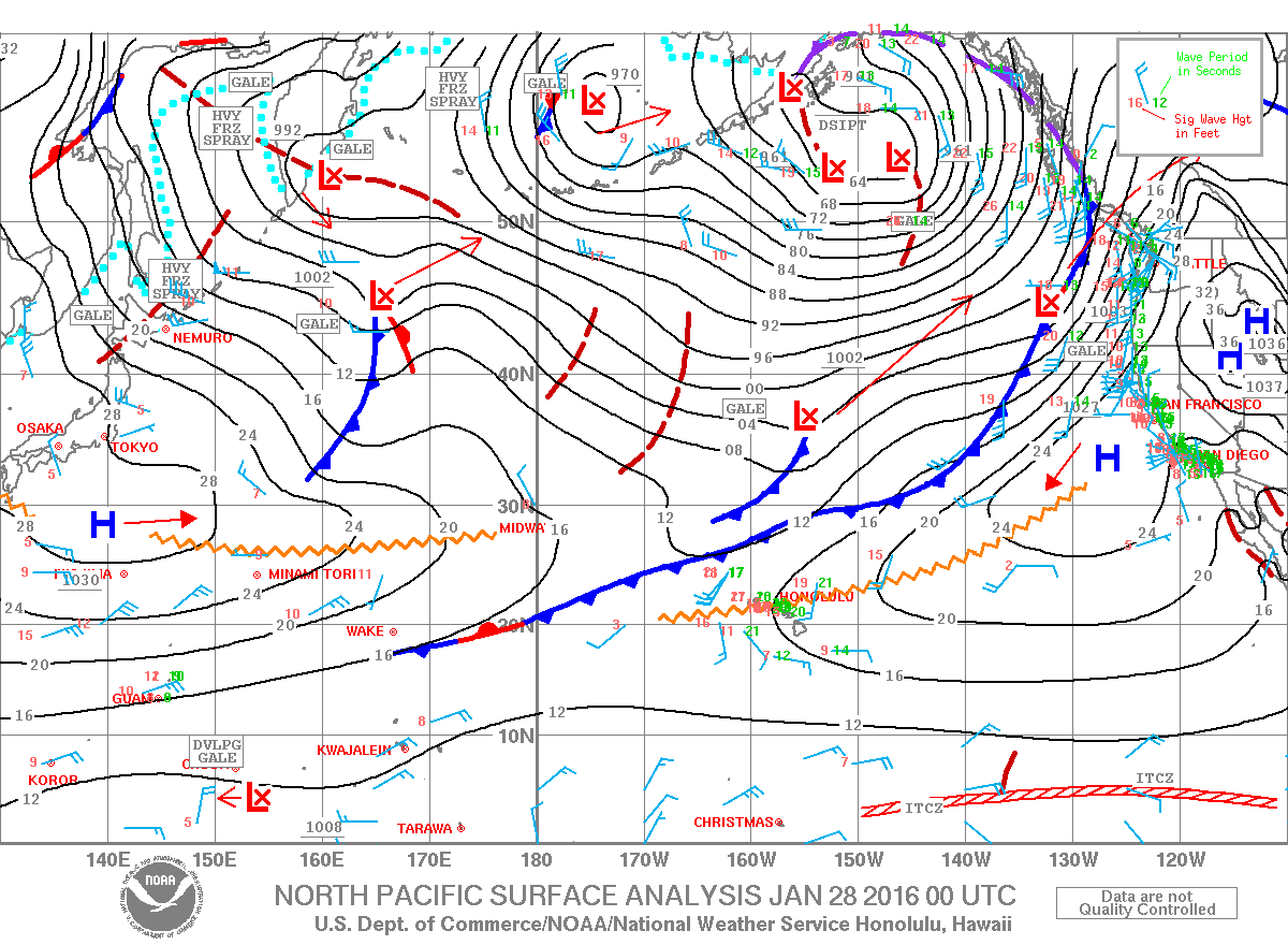
Image: NOAA / NWS
Sponsored Content


