

High Surf Advisory Extended to 6pm Tonight
Alerts
A Small Craft Advisory is posted for Big Island windward waters through 6 p.m. Wednesday. East winds are expected up to 25 knots and seas up to 12 feet.
A High Surf Advisory is posted for east shores through 6 p.m. Wednesday for 5 to 8 foot faces.
Check our breaking news section for any urgent weather alerts.
**Click directly on the images below to make them larger. Charts include: Big Island projected winds, tides, swell direction & period and expected wave heights.**
 Big Island Surf Forecast
Hilo side: Wave heights are expected head high to overhead with the best breaks getting up to well overhead today.
Kona side: Wave heights are expected to be pretty flat today.
South: Breaks open to the trade swell could get up to head high or overhead at the best exposures. Out of the south-southwest surf will be pretty flat.
 Trade swell is expected to gradually ease over the next couple of days as winds weaken some. The rough seas will maintain high surf along east facing shores of the islands. The high surf warning for east facing shores has been cancelled but a high surf advisory is posted.
Our current small northwest swell is expected to ease Wednesday. A slightly better swell is expected to fill in Thursday night into Friday.
Nothing of note expected out of the Southern Hemisphere for the final weeks of 2015.
Keep in mind, surf heights are measured on the face of the wave from trough to crest. Heights vary from beach to beach, and at the same beach, from break to break.
**Click here for your detailed Big Island weather report.**
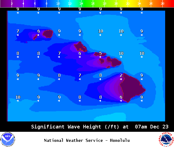
Image: NOAA / NWS

Image: NOAA / NWS

Image: NOAA / NWS
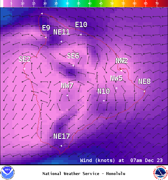
Image: NOAA / NWS
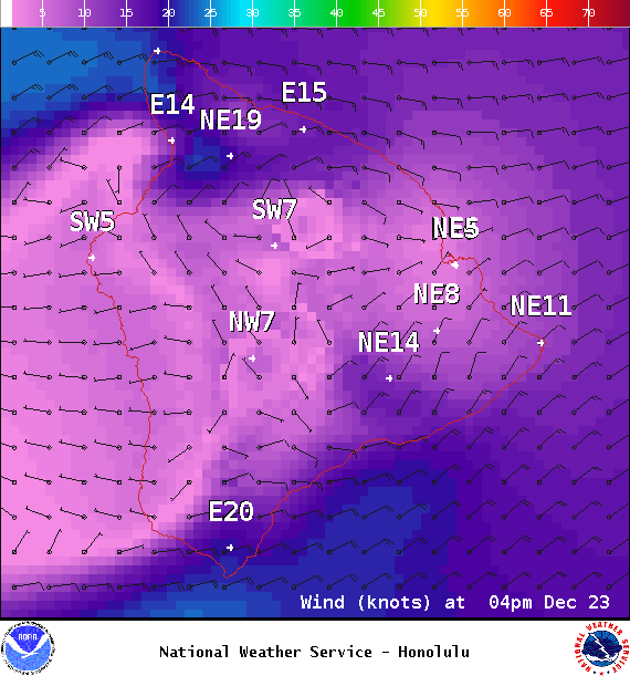
Image: NOAA / NWS
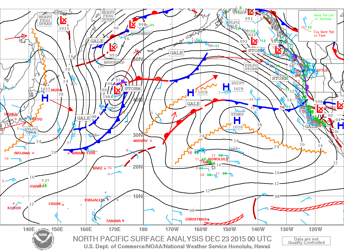
Image: NOAA / NWS
Sponsored Content


