

Geminid Meteor Shower Peaks, Winds Weaken
Alerts
A Small Craft Advisory is posted for all Hawaii County waters and channels through 6 a.m. Saturday for winds up to 25 knots and seas up to 12 feet.
A High Surf Advisory is posted for east facing shores with surf heights of 6 to 9 foot faces expected. The advisory is currently posted through 6 a.m. Saturday.
Check our breaking news section for any urgent weather alerts.
**Click directly on the images below to make them larger. Charts include: Big Island high/low forecasted temperatures, projected winds, chance of cloud cover, projected localized weather conditions, vog/SO2 forecast and expected wave heights.**
Looking Ahead
A front approaching from the northwest will shift winds to a weak southeast flow over the islands starting early Saturday. The lighter winds will allow afternoon sea breezes to develop with afternoon clouds and isolated showers over interior and leeward spots. A return to locally breezy trade winds is expected by the middle of next week.
Today & Sunday
Mostly clear skies are expected in the morning with clouds building and scattered showers expected in the afternoon. Winds are forecast out of the east from 15 to 20 mph. Locally hazy skies are expected. High temperatures from 79° to 85°.
UV index at 7 (“high” exposure level)
Tonight & Sunday Night
East winds are expected in the evening from 15 to 20 mph. Low temperatures from 67° to 72°. Partly cloudy skies are expected with isolated showers.
Geminid Meteor Shower peaks this weekend. Details and viewing tips HERE.
Our Big Island Now Weather homepage always includes daily: Sunrise | Sunset | Moonrise | Moonset | Moon Phase | Live Weather Cams | 5-day Forecast | Current Temperature & Conditions
**Click here for your detailed Big Island surf report.**
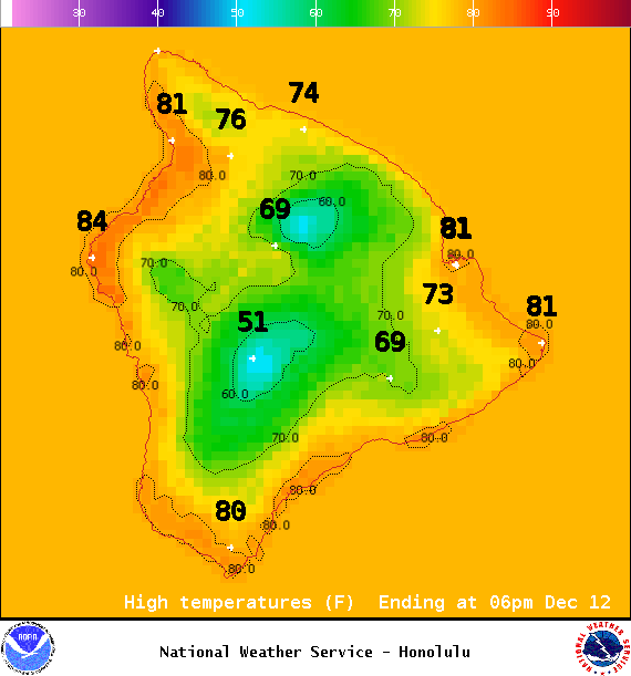
Image: NOAA / NWS
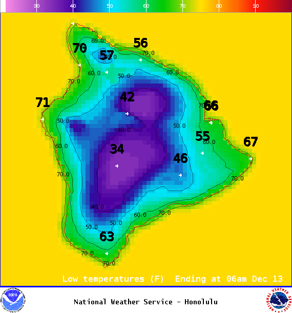
Image: NOAA / NWS
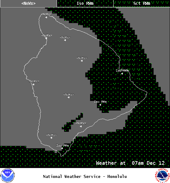
Image: NOAA / NWS
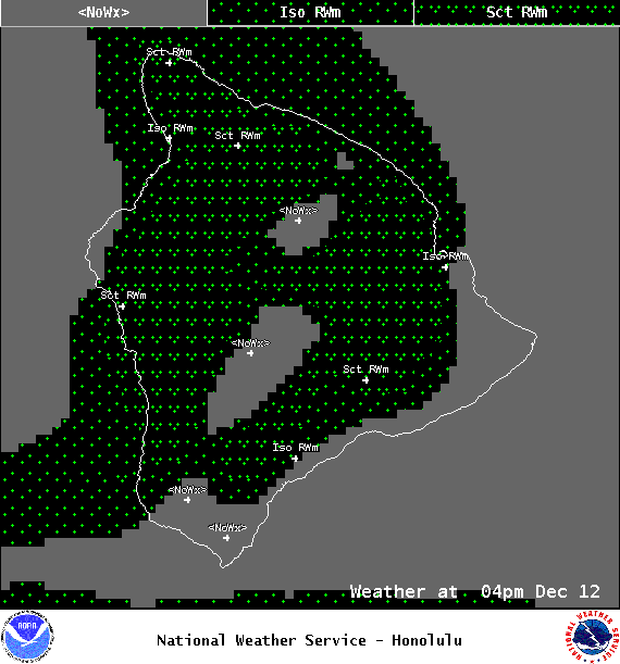
Image: NOAA / NWS
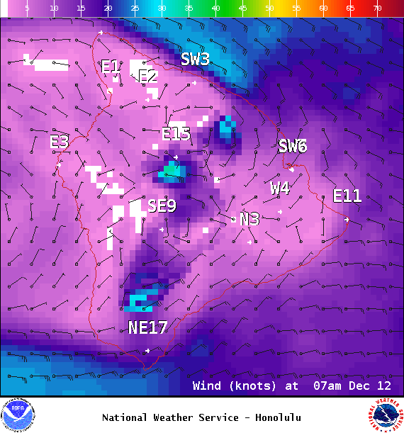
Image: NOAA / NWS
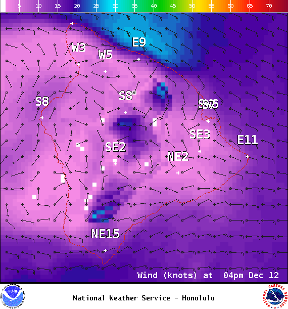
Image: NOAA / NWS

Image: NOAA / NWS
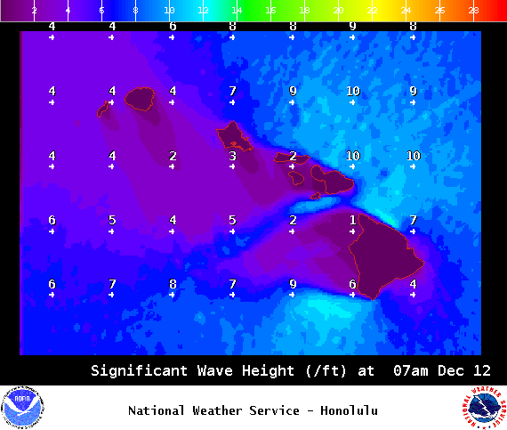
Image: NOAA / NWS
Sponsored Content


