

Light Winds Continue, Front Expected Soon
Alerts
A High Surf Advisory is posted for the east facing coastlines of the Big Island through 6 a.m. Monday. Surf heights of 6 to 10 foot faces are expected.
Check our breaking news section for any urgent weather alerts.
**Click directly on the images below to make them larger. Charts include: Big Island high/low forecasted temperatures, projected winds, chance of cloud cover, projected localized weather conditions, vog/SO2 forecast and expected wave heights.**
Looking Ahead
Generally light winds are expected through Monday. A weak front is forecast to reach Kauai on Monday night and then pass down the island chain through Tuesday night mainly affecting windward spots. Behind the front, an uptick in trade wind speeds is expected. Winds will weaken again Thursday as another front approaches from the northwest.
Today
Today sunny skies are expected with in the morning with some clouds building in the afternoon. Scattered afternoon showers are possible as the sea breeze develops. High temperatures from 82° to 87°. Variable winds are forecast up to 10 to 15 mph.
UV index at 9 (“very high” exposure level)
Tonight
Variable winds are expected in the evening up to 15 mph. Low temperatures from 68° to 73°. Mostly cloudy skies are expected in the evening with scattered showers for windward spots. Leeward spots should see clearing as the night goes on.
Our Big Island Now Weather homepage always includes daily: Sunrise | Sunset | Moonrise | Moonset | Moon Phase | Live Weather Cams | 5-day Forecast | Current Temperature & Conditions
**Click here for your detailed Big Island surf report.**

Image: NOAA / NWS

Image: NOAA / NWS

Image: NOAA / NWS

Image: NOAA / NWS
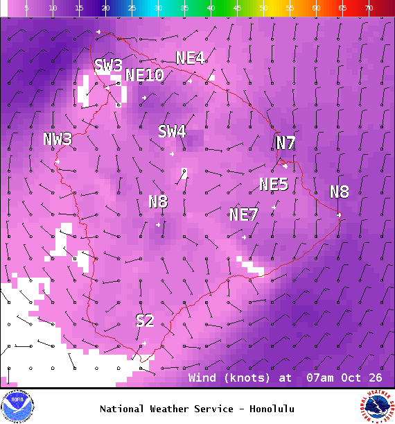
Image: NOAA / NWS
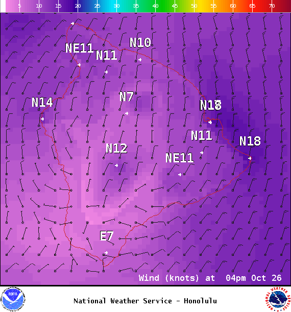
Image: NOAA / NWS
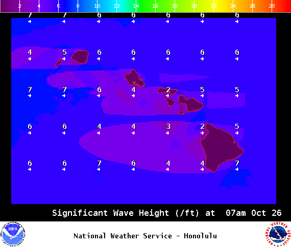
Image: NOAA / NWS
Sponsored Content


