Big Island Surf: SSW Peaks Today
Alerts
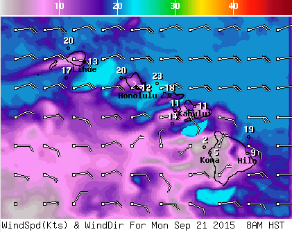
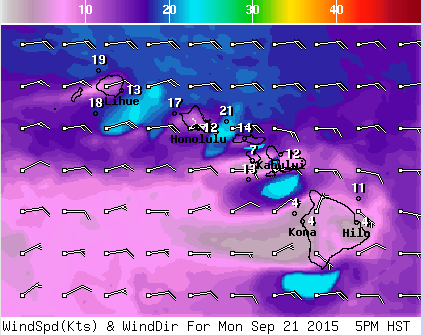
A Small Craft Advisory is posted for the ʻAlenuihāhā channel as well as waters to the west and south of the Big Island through 6 p.m. Monday. Trade wind speeds are expected to increase during this time.
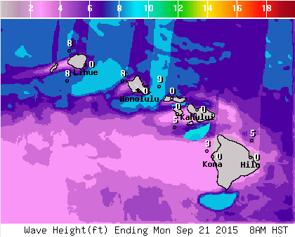
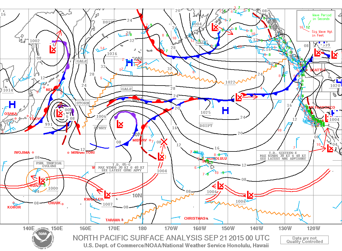
**Click directly on the images below to make them larger. Charts include: Big Island projected winds, tides, swell direction & period and expected wave heights.**
Hilo side: Wave heights are expected waist/shoulder high today. The best breaks catching the trade swell could get a bit bigger on the sets.
Kona side: Wave heights tummy/chest/head high are expected today. Best breaks open to the swell could get slightly overhead on the sets.
South: Wave heights chest/head high are expected for the breaks open to the peaking south-southwest swell. The best breaks could get overhead on the sets.
 Our reinforcing SSW swell is expected to peak Monday morning. Size is expected to slowly begin to fade starting Tuesday through the week. Small scale south-southwest swells are expected through the end of the month but nothing super noteable.
Trade winds will continue to generate short-period choppy surf at moderate levels along east facing shores through the weekend. Other than that, there is nothing of note out of the NPAC.
Keep in mind, surf heights are measured on the face of the wave from trough to crest. Heights vary from beach to beach, and at the same beach, from break to break.
**Click here for your detailed Big Island weather report.**


