

More Stable Weather Today, Weekend Uncertain
Alerts
There are no weather alerts posted at this time.
**Click directly on the images below to make them larger. Charts include: Big Island high/low forecasted temperatures, projected winds, chance of cloud cover, projected localized weather conditions, vog/SO2 forecast and expected wave heights.**
Looking Ahead
Moisture that has been lingering the last couple of days is expected to gradually decrease across the Hawaiian islands Wednesday and Thursday. Trade winds will build back in from east to west from late Wednesday into Friday, with a more settled weather pattern briefly returning. Unsettled weather is possible once again over the weekend, as a tropical disturbance far southeast of the state may draw closer. Most models are showing formation of a tropical cyclone within this area. It is still too early to determine what, if any, impacts will be felt in the islands from this potentially developing disturbance, but the forecast should be monitored closely, especially if making outdoor plans for the upcoming weekend. The forecast for the weekend at this point contains an extreme amount of uncertainty, but chance of rainfall has been increased and so have the forecasted wind speeds.
Today
Partly to mostly cloudy skies are expected for windward and mauka areas with morning scattered showers. Leeward spots will be mostly sunny with mostly cloudy skies building in the afternoon. Scattered showers are expected for upslope areas as clouds build. The chance of locally heavy rainfall is much less than it has been the last two days. Trade winds are expected to fill back in around 10 to 20 mph. High temperatures are expected from 83° to 89°, and it should feel a little less muggy today than in past days.
UV index at 12 (“extreme” exposure level)
Tonight
Trade winds are expected from 10 to 20 mph tonight. Mostly cloudy skies and scattered showers are expected in windward spots. Leeward areas should gradually clear as the night goes on. Low temperatures from 73° to 78° are expected.
Our Big Island Now Weather homepage always includes daily: Sunrise | Sunset | Moonrise | Moonset | Moon Phase | Live Weather Cams | 5-day Forecast | Current Temperature & Conditions
**Click here for your detailed Big Island surf report.**

Image: NOAA / NWS

Image: NOAA / NWS

Image: NOAA / NWS

Image: NOAA / NWS
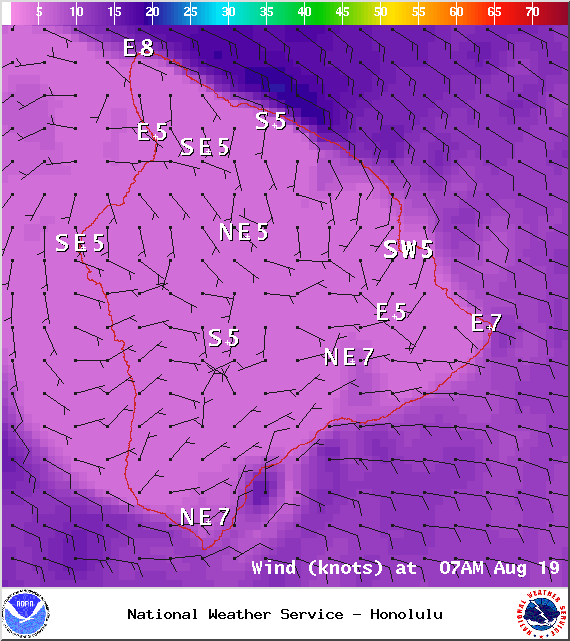
Image: NOAA / NWS
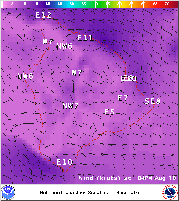
Image: NOAA / NWS

Image: UHSOEST
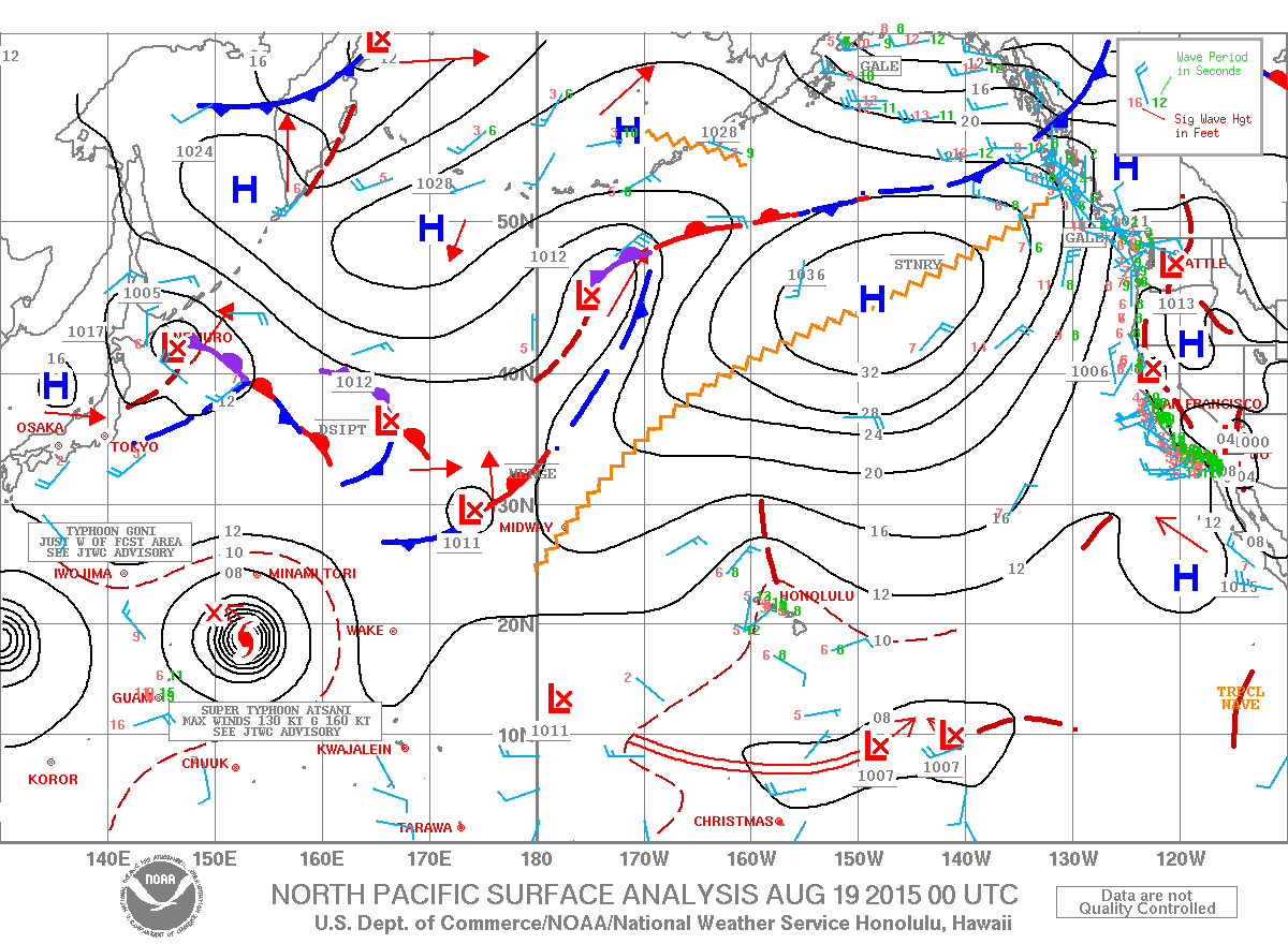
Image: NOAA / NWS
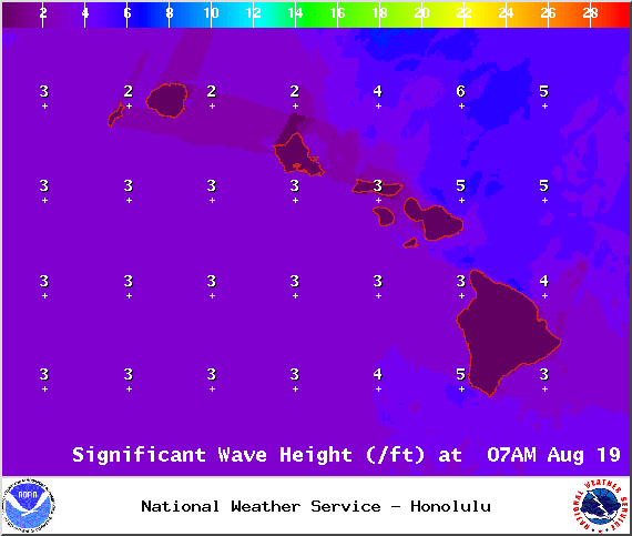
Image: NOAA / NWS
Sponsored Content


