SW Swell Peaks, NW Fills in Late
Alerts
There are no weather alerts posted at this time.
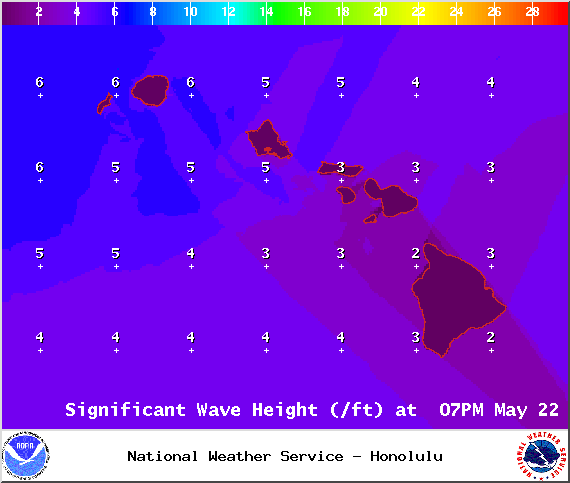
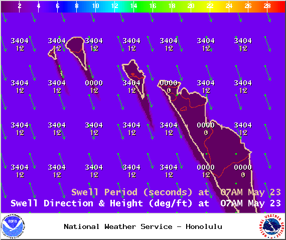
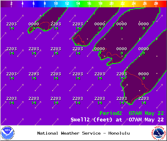
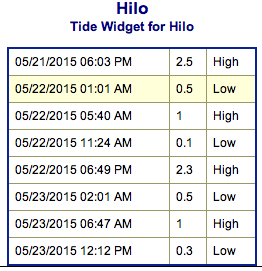
**Click directly on the images below to make them larger. Charts include: Big Island projected winds, tides, swell direction & period and expected wave heights.**
Hilo side: Knee/waist high surf is expected today. The best focal points could be slightly bigger.
Kona side: Wave heights of about waist high are expected for southerly exposures. Best breaks could get up to chest/shoulder high on the sets.
South: Wave heights waist/shoulder high today. The best breaks could get up to head high on the sets. Trade swell of about knee/waist high.
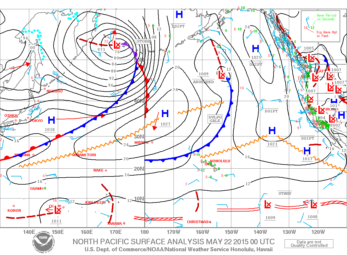
 Our Tasman swell is expected to peak Friday and and slowly ease over the weekend. Another slightly larger swell is possible on Saturday which should keep wave heights steady. That swell is expected to peak early next week.
Our current northwest pulse lingers today with another swell on it’s heels for the weekend. This new swell is expected to begin building late Friday and peak Sunday into Monday.
Keep in mind, surf heights are measured on the face of the wave from trough to crest. Heights vary from beach to beach, and at the same beach, from break to break.


