

New Swells Expected This Weekend
Alerts
A Small Craft Advisory is posted for Big Island southeast and leeward waters as well as the Alenuihaha channel through 6 p.m. Sunday for east winds up to to 30 knots and rough seas up to 15 feet. Inexperienced mariners should avoid navigating in these conditions.
**Click directly on the images below to make them larger. Charts include: Big Island projected winds, tides, swell direction & period and expected wave heights.**
 Big Island Surf Forecast
Hilo side: Messy chest to shoulder high waves are expected today. The best breaks open to the swells could go overhead on the sets.
Kona side: Wave heights of knee to waist high are expected.
South: Wave heights of thigh to shoulder high are expected.
 Our current northwest swell continues to slowly fade into the weekend.
A reinforcing northwest is expected to move in Sunday into early next week.
Small south-southwest reinforcement swell continues through Saturday. New south-southwest pulses expected over the weekend and into early next week.
Keep in mind, surf heights are measured on the face of the wave from trough to crest. Heights vary from beach to beach, and at the same beach, from break to break.
**Click here for your detailed Big Island weather report.**
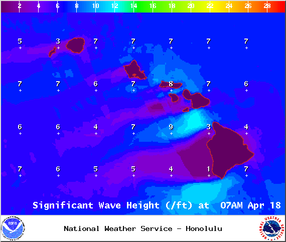
Image: NOAA / NWS

Image: NOAA / NWS

Image: NOAA / NWS
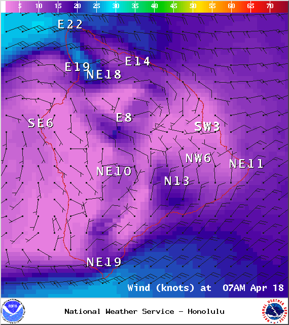
Image: NOAA / NWS
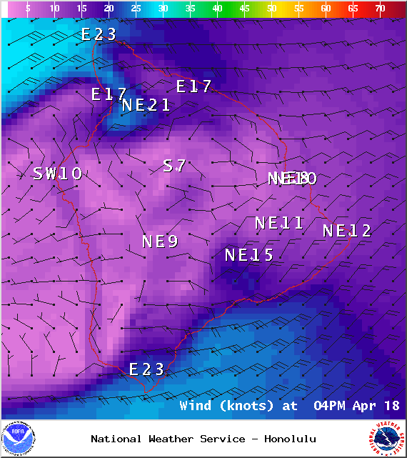
Image: NOAA / NWS
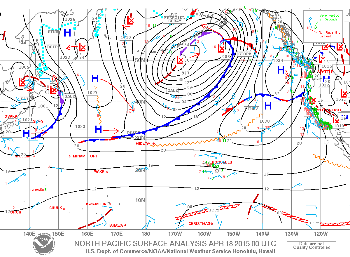
Image: NOAA / NWS
Sponsored Content


