

Trade Wind Weather Sticks Around
Alerts
A Small Craft Advisory is posted for Big Island southeast and leeward waters as well as the Alenuihaha channel through 6 p.m. Sunday for east winds up to to 30 knots and rough seas up to 15 feet. Inexperienced mariners should avoid navigating in these conditions.
**Click directly on the images below to make them larger. Charts include: Big Island high/low forecasted temperatures, projected winds, chance of cloud cover, projected localized weather conditions, vog/SO2 forecast and expected wave heights.**
Today
We expect frequent windward showers this morning with scattered afternoon showers for the Hilo sides coastline. Kona side should get sunshine in the morning with building cloud cover in the afternoon and scattered showers. Trade winds are forecasted from 15 to 20 mph. High temperatures from 80° to 85°.
UV index at 10 (“very high” exposure level)
Tonight
Scattered to numerous showers are expected for windward and mauka areas tonight. Leeward spots are forecasted to be mostly cloudy with scattered showers in the evening, then isolated showers after midnight. East winds are forecasted around 15 mph. Low temperatures from 68° to 73° are expected.
Looking Ahead
Moderate to fresh trade wind flow is expected to stay in place through Saturday. Sunday through early next week an increase in trade wind speeds is forecasted. An approaching cold front will weaken the trades during the second half of next week.
Our Big Island Now Weather homepage always includes daily: Sunrise | Sunset | Moonrise | Moonset | Moon Phase | Live Weather Cams | 5-day Forecast | Current Temperature & Conditions
**Click here for your detailed Big Island surf report.**
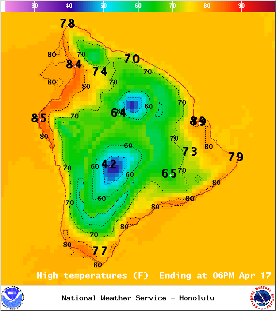
Image: NOAA / NWS
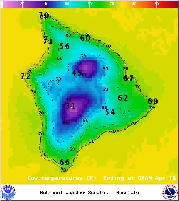
Image: NOAA / NWS
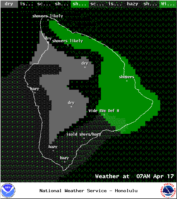
Image: NOAA / NWS
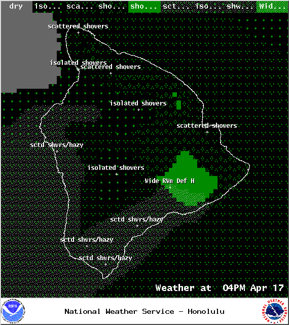
Image: NOAA / NWS
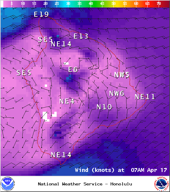
Image: NOAA / NWS
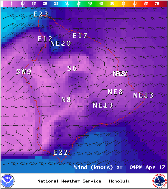
Image: NOAA / NWS
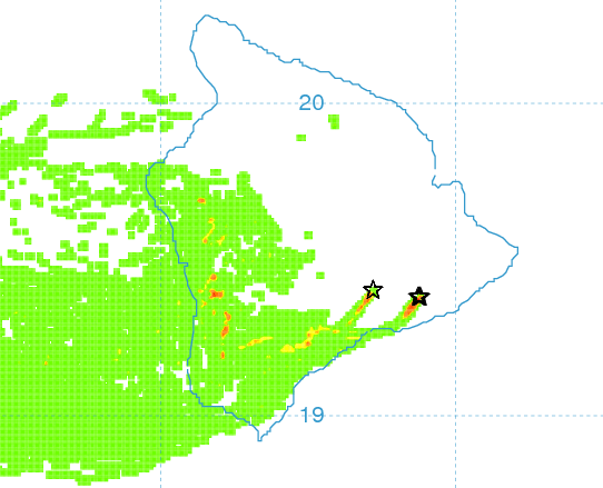
Image: UHSOEST
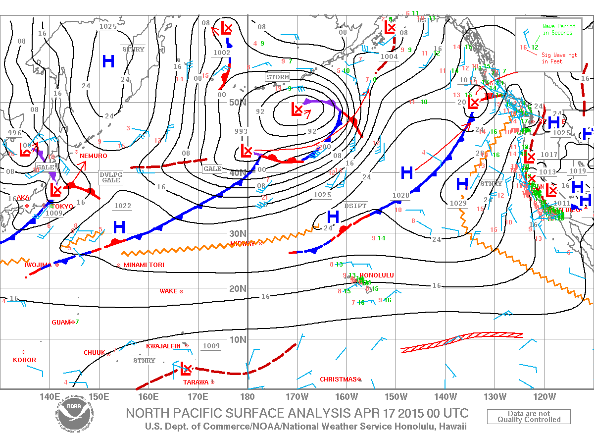
Image: NOAA / NWS

Image: NOAA / NWS
Sponsored Content


