

Increased Windward Showers Expected
Alerts
A Small Craft Advisory is posted for the Alenuihaha channel and Big Island leeward and southeast waters through 6:00 a.m. Wednesday for east winds up to to 25 knots and rough seas up to 10 feet. Inexperienced mariners should avoid navigating in these conditions.
**Click directly on the images below to make them larger. Charts include: Big Island high/low forecasted temperatures, projected winds, chance of cloud cover, projected localized weather conditions, vog/SO2 forecast and expected wave heights.**
Today
Cloudy skies are in the forecast with windward scattered showers. Partly cloudy skies are expected for leeward areas with isolated showers. East winds are forecasted from 15 to 20 mph. High temperatures from 80° to 85°.
UV index at 11 (“extreme” exposure level)
Tonight
Occasional showers are expected for windward and mauka areas tonight. Leeward spots are forecasted to be mostly cloudy with scattered showers in the evening, then isolated showers after midnight. East winds are forecasted around 15 mph. Low temperatures from 67° to 72° are expected.
Looking Ahead
Trade winds can be expected through the remainder of the week and on through the weekend. Clouds and passing showers will tend to favor windward and mauka areas today through Wednesday. A disturbance near the islands is expected to increase shower activity from Wednesday night through Thursday night, especially in windward and mauka spots. Drier weather is expected over the weekend.
Our Big Island Now Weather homepage always includes daily: Sunrise | Sunset | Moonrise | Moonset | Moon Phase | Live Weather Cams | 5-day Forecast | Current Temperature & Conditions
**Click here for your detailed Big Island surf report.**
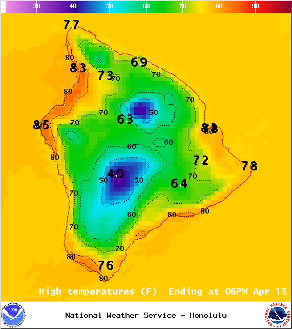
Image: NOAA / NWS
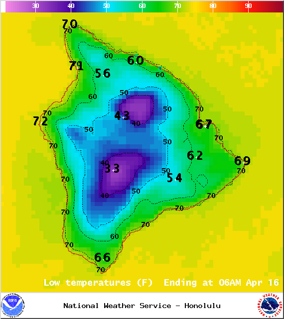
Image: NOAA / NWS
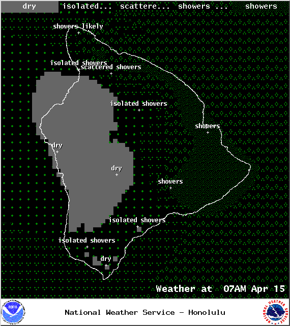
Image: NOAA / NWS
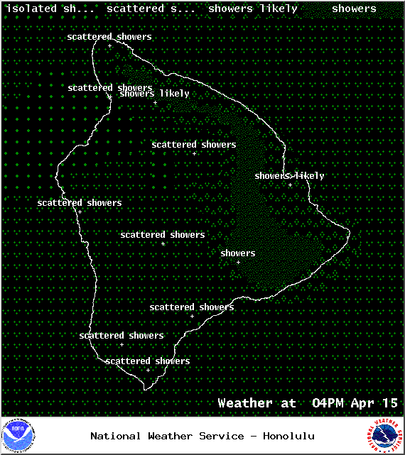
Image: NOAA / NWS
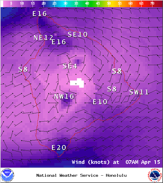
Image: NOAA / NWS
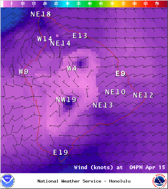
Image: NOAA / NWS
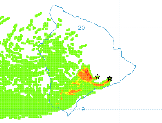
Image: UHSOEST
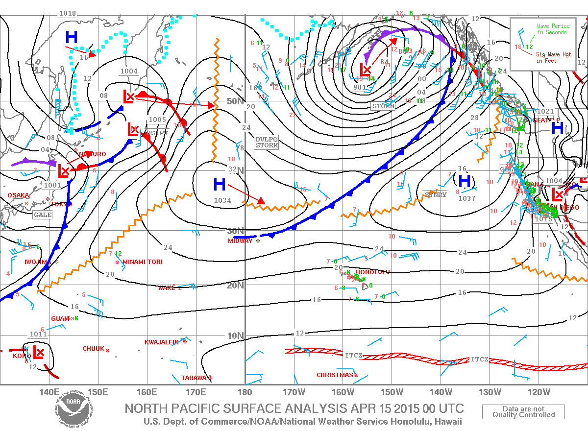
Image: NOAA / NWS
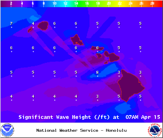
Image: NOAA / NWS
Sponsored Content


