

Increase in Windward Showers Expected Today
Alerts
A Small Craft Advisory is posted for the ʻAlenuihāhā channel as well as waters to the south and west of the Big Island through 6:00 p.m. Thursday for east winds up to to 25 knots and rough seas up to 13 feet. Inexperienced mariners should avoid navigating in these conditions.
**Click directly on the images below to make them larger. Charts include: Big Island high/low forecasted temperatures, projected winds, chance of cloud cover, projected localized weather conditions, vog/SO2 forecast and expected wave heights.**
Today
Mostly cloudy skies are in the forecast with windward showers likely in the morning and gradual clearing as the day goes on. Mostly sunny skies are expected for leeward areas in the morning with building cloud cover and scattered showers in the afternoon. Trade winds are forecasted from 10 to 20 mph. High temperatures from 80° to 85°.
UV index at 10 (“very high” exposure level)
Tonight
The windward side is forecasted continue a gradual clearing trend with scattered showers. Leeward spots are expected to have mostly cloudy skies and scattered showers in the evening, then clearing. Trade winds are forecasted from 10 to 20 mph. Low temperatures from 68° to 73° are expected.
Looking Ahead
A trade wind weather pattern is expected to continue into next weekend. Increased showers are forecasted to move over the islands into Tuesday. These showers will favor windward and mountain areas, but a few will spread leeward. After the shower band passes by late Tuesday, a typical trade wind pattern is expected, with brief windward showers favoring nights and mornings. The Kona slopes of the Big Island will have afternoon clouds and showers each day that linger into the evening before clearing.
Our Big Island Now Weather homepage always includes daily: Sunrise | Sunset | Moonrise | Moonset | Moon Phase | Live Weather Cams | 5-day Forecast | Current Temperature & Conditions
**Click here for your detailed Big Island surf report.**

Image: NOAA / NWS

Image: NOAA / NWS

Image: NOAA / NWS

Image: NOAA / NWS
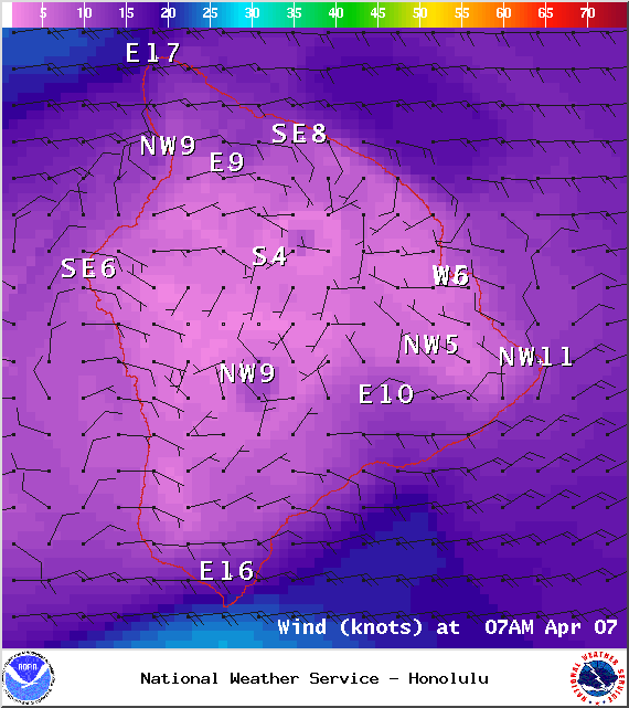
Image: NOAA / NWS
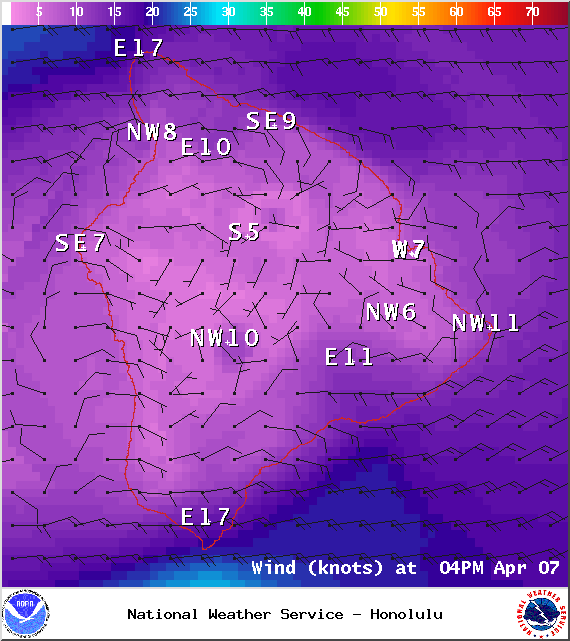
Image: NOAA / NWS

Image: UHSOEST
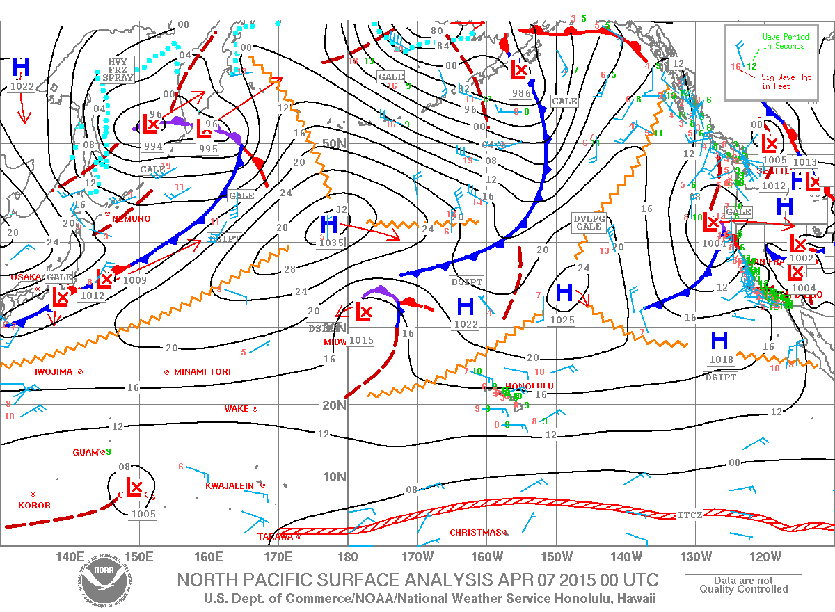
Image: NOAA / NWS
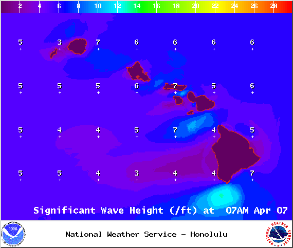
Image: NOAA / NWS
Sponsored Content


