

Improved Weather Today
Alerts
A High Surf Advisory is in effect through Friday at 6 p.m. Surf heights from 12 to 16 feet are expected. Expect strong breaking waves, shore break and strong longshore and rip currents making swimming difficult and dangerous.
A Small Craft Advisory is posted for all island waters through 6 p.m. Friday. North winds up to 25 knots are expected along with rough seas of 9 to 16 feet. Inexperienced mariners should avoid navigating in these conditions.
A Winter Weather Advisory is in effect through 6:00 a.m. Friday for freezing fog and snow showers on Mauna Kea and Mauna Loa. Light ice accumulations with up to one inch of snow is expected.
**Click directly on the images below to make them larger. Charts include: Big Island high/low forecasted temperatures, projected winds, chance of cloud cover, projected localized weather conditions, vog/SO2 forecast and expected wave heights.**
Today
Partly cloudy skies are expected today with scattered morning windward showers and isolated afternoon showers. Kona side will get partly sunny skies and afternoon isolated showers. North winds are forecasted from 15 to 25 mph. High temperatures from 77° to 82°.
UV index at 9 (“very high” exposure level)
Tonight
Partly cloudy skies are expected with isolated windward showers and mostly clear skies for the leeward side. North winds are forecasted from 15 to 25 mph. Low temperatures from 65° to 70° are expected.
Looking Ahead
Cool and rather dry northerly winds are expected to dominate on Friday then shift to a typical trade wind direction before easing on Sunday and Monday. Models are suggesting that trades will weaken further on Tuesday as the surface ridge north of the islands is disrupted by an approaching front. The front will be weak as it advances close to the islands later in the week.
Our Big Island Now Weather homepage always includes daily: Sunrise | Sunset | Moonrise | Moonset | Moon Phase | Live Weather Cams | 5-day Forecast | Current Temperature & Conditions
**Click here for your detailed Big Island surf report.**

Image: NOAA / NWS

Image: NOAA / NWS

Image: NOAA / NWS

Image: NOAA / NWS
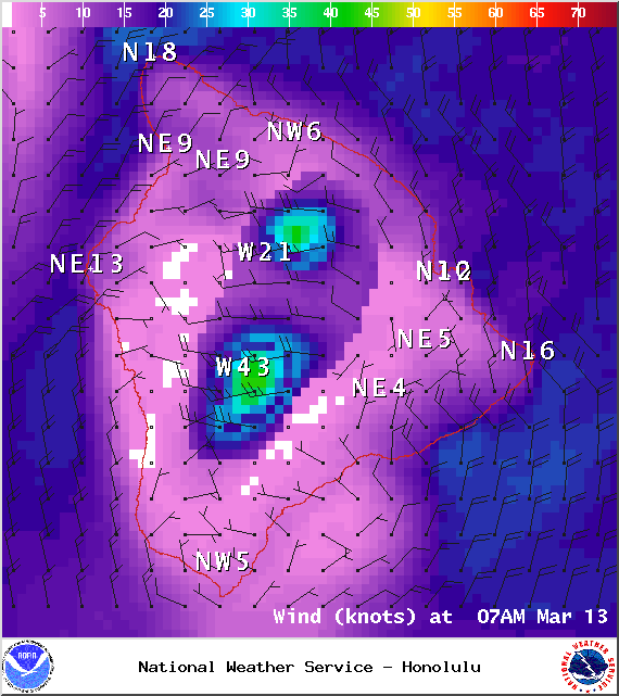
Image: NOAA / NWS
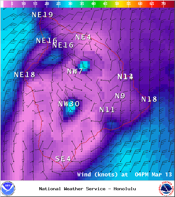
Image: NOAA / NWS

Image: UHSOEST
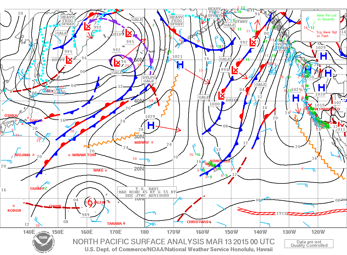
Image: NOAA / NWS
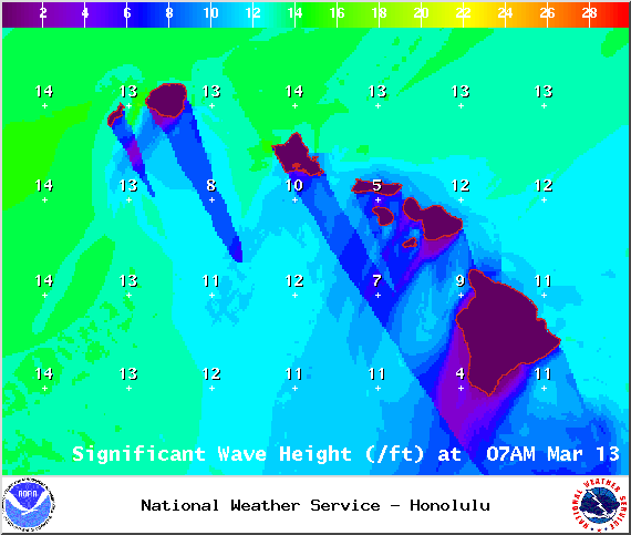
Image: NOAA / NWS
Sponsored Content


